
North Sumatra Accelerates Evacuations Amid Natural Disasters After Mount Sinabung Erupts With 3,500-Meter Ash Column
Indonesian authorities raised Mount Sinabung's alert level to III (Siaga) after it erupted on August 31 2026 spewing a 3500-meter column of black ash prompting accelerated evacuations of residents from an expanded danger zone in Karo Regency North Sumatra amid natural disasters. [5]
Eruption and Alert Level Increase
The eruption at 1017 WIB on August 31 produced ash rising to 5960 meters above sea level lasting over an hour. [2] Videos showed SD students still active at schools leading to calls for mask use and distance learning. [2] Officials raised the volcano alert level to “Watch,” the second-highest level for volcanic activity. [5] This eruption is considered an initial eruption, and it is possible that a larger eruption could occur. [5] Pusat Vulkanologi dan Mitigasi Bencana Geologi recorded visual evidence of increased activity in mid-August including dozens of earthquakes. [5] The agency expanded the recommended radius for public activities. [5]
Expanded Danger Zones and Evacuation Orders
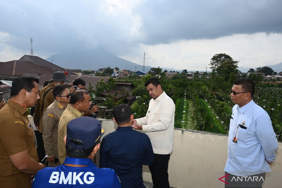
PVMBG expanded the danger zone to a 3 km radius and 6 km in the eastern and southern sectors based on visual and seismic data indicating magma movement that could trigger a large eruption similar to 2019-2020. [1] Governor Bobby Nasution ordered comprehensive and if necessary forced evacuation of residents especially from the red zone prioritizing lives and ensuring adequate facilities at evacuation sites with provincial logistical support. [1] Bupati Karo Antonius Ginting reported that the adjustment of the danger zone up to six kilometers focused evacuation primarily on Desa Kuta Tengah. [1]
:quality(30):format(webp):focal(0.5x0.5:0.5x0.5)/medan/foto/bank/originals/Guntur-Sinabung-erupsi-siswa-sd.jpg)
Students continue activities at an elementary school near Mount Sinabung during its eruption in North Sumatra. — Source: gdelt
Evacuation Progress and Shelter Preparations
Approximately 140 households or 684 people from Desa Kuta Tengah are targeted for evacuation with over 260 already moved to shelters in Gedung Korpri and Jambur Desa Suka Nalu. [1] Governor Bobby Nasution instructed that various supporting facilities at evacuation sites be prepared to the maximum in a short time. [1] The North Sumatra provincial government is ready to provide support in the form of logistics assistance, evacuation equipment and operational needs of personnel in the field due to the eruption of Mount Sinabung. [1] Governor Bobby Nasution emphasized not to give half-hearted facilities to people in evacuation and to use the budget well to provide decent and comfortable facilities. [1]
Local Government and Security Response
Bupati Karo Antonius Ginting stated that the Karo Regency Government together with the TNI/Polri have prepared a fleet of transportation with a shuttle system anticipating residents still active in the fields during the day. [1] The local government together with TNI/Polri and volunteers have prepared as many as 843 joint personnel under the command of Kodim 0205/Tanah Karo and Polres Tanah Karo. [1] Several other anticipatory steps have been taken including closing teaching and learning activities in several schools affected by the six kilometer radius such as SD Guru Kinayan, SD Payung, SD Ndeskati, and SMP Negeri 1 Atap Payung. [1] Dinas Pendidikan appealed to all school residents from PAUD, SD, SMP to SMA/SMK levels in areas affected by Mount Sinabung activity to increase vigilance and use masks when doing outdoor activities. [2]

Mount Sinabung erupts with a 3500-meter ash column in North Sumatra. — Source: antaranews
Impact on Aviation and Daily Activities
Lion Group flights to and from Kualanamu Airport faced delays rerouting or cancellation due to volcanic ash risks with safety as the top priority. [4] Corporate Communications Strategic of Lion Group Danang Mandala Prihantoro said the eruption of Mount Sinabung had an impact on flight operations from and to Kualanamu International Airport in Deli Serdang. [4] If volcanic ash is carried by the wind and spreads to flight paths or around the airport, flights may experience delays in departure and arrival, rerouting or cancellation. [4] Decisions on operations are made based on developments in actual conditions and coordination with related parties including airport managers, aviation authorities and parties monitoring volcanic activity and ash dispersion. [4] Lion Group continues to coordinate with various related parties and monitor developments in Mount Sinabung activity, volcanic ash dispersion information, weather conditions and airport operational developments. [4]
Context of Sinabung's History and Regional Volcanism
About 30000 people have been forced to leave their homes around Sinabung in the past few years because of volcanic activity. [5] Indonesia is an archipelago of more than 280 million people with frequent seismic activity and Sinabung is among more than 120 active volcanoes. [5] The country is prone to seismic upheaval due to its location on the Pacific “Ring of Fire,” an arc of volcanoes and fault lines encircling the Pacific Basin. [5] Head of the Mount Sinabung Observation Post Armen Putra explained that visual and seismic observations indicate magma movement toward the surface that could dismantle the remaining lava dome from previous eruptions. [1] Hotspots were recorded the previous night meaning lava had reached the surface and if new lava dome formation is obstructed and internal earthquake pressure continues to increase this could dismantle the old lava dome and potentially trigger a fairly large eruption like in 2019 and 2020. [1]
What to watch next: Officials will continue monitoring ash dispersion and seismic indicators while maintaining the limited reopening policies for other sites such as Mount Rinjani under tightened fire-risk controls.