
Hurricane Tracker Updates Show Tornado Warning Issued for Ohio Counties
The National Weather Service has issued multiple severe thunderstorm and tornado warnings across parts of Ohio and Arizona amid active severe weather, while California grapples with power outages triggered by an extreme heat wave. Hurricane tracker updates show these alerts unfolding in real time across multiple states.
Active Tornado and Severe Thunderstorm Warnings in Ohio
A Tornado Warning remains in effect until 1015 PM EDT for portions of Belmont, Guernsey, Monroe, and Noble counties in east central Ohio. [1] At 947 PM EDT a severe thunderstorm capable of producing a tornado was located over Byesville or near Cambridge and was moving east at 35 mph. [1] The hazard is a tornado with the source listed as radar indicated. [1] A separate Severe Thunderstorm Warning is active until after 943 PM EDT for Fairfield County in Ohio. [2] At 943 PM EDT a severe thunderstorm was located near Somerset and was moving east at 40 mph. [2] This storm is capable of producing 60 mph wind gusts. [2] Locations impacted by the Fairfield County warning include Lancaster, Bremen, Hide-A-Way Hills, Rushville, West Rushville, US Route 22 at State Route 159, and North Berne. [2]
Severe Thunderstorm Threat in Arizona
A Severe Thunderstorm Warning covers southwestern Cochise County in southeastern Arizona until 730 PM MST. [5] At 642 PM MST a severe thunderstorm was located near Sierra Vista and was moving west at 10 mph. [5] The hazard consists of 60 mph wind gusts with the source listed as radar indicated. [5] Impacts expected include damage to roofs, siding, and trees. [5] Locations impacted by this warning include Sierra Vista, Hereford, Whetstone, Huachuca City, Fort Huachuca, Parker Canyon Lake, and Ra. [5]
California Heat Wave Triggers Widespread Power Outages
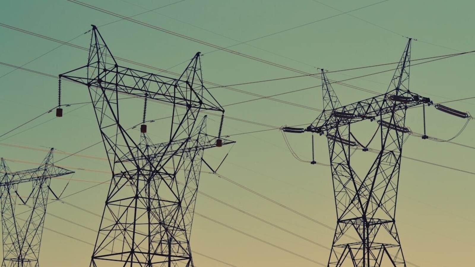
Triple-digit temperatures and high humidity in Southern California have caused power outages in Los Angeles and Orange counties. [3] LADWP has urged conservation through 8pm to reduce strain on the power grid. [3] The utility stated that extreme heat and humidity were putting added pressure on its local distribution system. [3] The request aims at reducing stress on local equipment and lowering the risk of additional outages. [3] Live outage data shows thousands of customers without power across California with outages reported in Los Angeles and Orange counties. [3]
Current Storm Tracks and Radar-Indicated Hazards
Hurricane tracker updates align with radar indications that a tornado threat exists over east central Ohio counties including southwestern Belmont County, southern Guernsey County, northwestern Monroe County, and northeastern Noble County. [1] Radar indicated the storm near Cambridge moving east at 35 mph. [1] In Fairfield County radar showed a storm near Somerset moving east at 40 mph with expected damage to trees and power lines. [2] In Arizona radar indicated a storm near Sierra Vista moving west at 10 mph with expected damage to roofs, siding, and trees. [5] These radar-based warnings cover specific communities such as Lancaster and Sierra Vista while highlighting wind gusts of 60 mph. [2][5]
Utility Resources and Safety Guidance for Outages
Los Angeles customers can check the LADWP outage map or call 1-800-342-5397. [3] SCE customers in parts of Los Angeles and Orange counties can use its outage map or call 1-800-655-4555. [3] PG&E customers elsewhere in California can check its outage map. [3] Safety guidance states that 911 should be used for emergencies and dangerous downed power lines. [3] SCE downed lines can be reported at 1-800-611-1911. [3] Residents are advised never to approach a fallen power line even if it appears inactive. [3]
What to watch next
Residents in the warned Ohio counties should monitor updates until after 1015 PM EDT while Arizona communities track conditions until 730 PM MST. California utility customers are advised to continue checking outage maps as heat-related strain persists through 8pm.