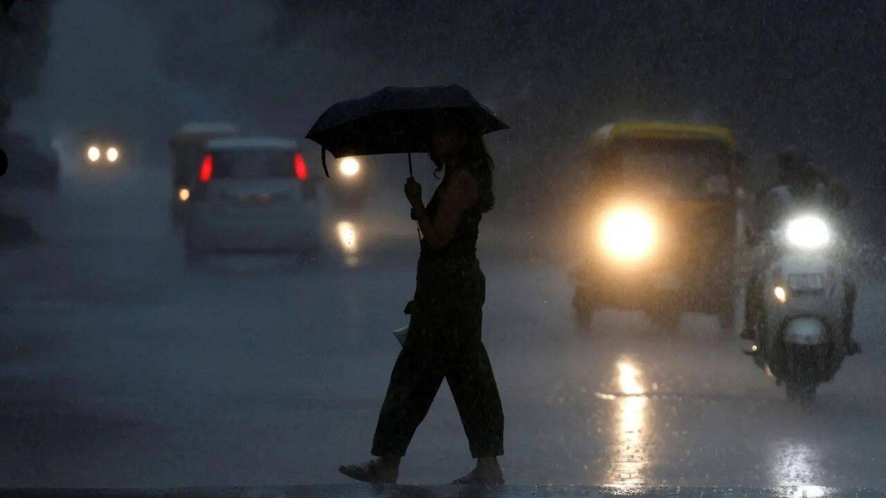
Hurricane Tracker Updates Show Severe Thunderstorms and Flash Floods Hit North Dakota, Arizona, Utah and Colorado
National Weather Service offices have issued multiple severe thunderstorm warnings and flash flood warnings across parts of the United States while snow has closed roads in New Zealand's Otago region according to hurricane tracker reports.
Current Severe Weather Alerts in the United States
A Severe Thunderstorm Warning remains in effect until 7:45 PM CDT for several counties in south central North Dakota including Burleigh, Emmons, Grant, Morton, Oliver and Sioux. [1] A Severe Thunderstorm Warning is also in effect until 5:15 PM MST for east central La Paz County in Arizona with 60 mph wind gusts reported near Vicksburg. [2] Flash Flood Warnings have been issued for Kane County, Utah, and the northwest area of the Ferris Fire Scar burn scar in Dolores County, Colorado, due to ongoing or imminent life-threatening flash flooding from heavy rain. [4] [5] These alerts cover distinct hazards ranging from damaging winds to life-threatening flooding in separate regions.
North Dakota Thunderstorm Warning Details
The National Weather Service in Bismarck issued the Severe Thunderstorm Warning for Central Burleigh County in south central North Dakota, Western Emmons County in south central North Dakota, Eastern Grant County in south central North Dakota, Morton County in south central North Dakota, Southern Oliver County in south central North Dakota and Sioux County in south central North Dakota. [1] The warning stays active until 7:45 PM CDT or 6:45 PM MDT. [1] At 6:42 PM CDT or 5:42 PM MDT severe thunderstorms were noted in the warned area. [1] The warning focuses on south central North Dakota counties where the storms were occurring at the time of issuance.
Arizona Thunderstorm and Wind Threat
The National Weather Service in Phoenix issued the Severe Thunderstorm Warning for east central La Paz County in west central Arizona. [2] The warning remains in effect until 5:15 PM MST. [2] At 4:40 PM MST a severe thunderstorm was located near Vicksburg or 34 miles southeast of Parker and was moving northeast at 15 mph. [2] The primary hazard consists of 60 mph wind gusts indicated by radar. [2] Expected impacts include damage to roofs, siding and trees. [2] Locations impacted include Vicksburg and Salome. [2]
Flash Flooding in Utah and Colorado
At 5:40 PM MDT Doppler radar indicated earlier thunderstorms that produced heavy rain across the warned area in Kane County, Utah, with up to 0.5 inches of rain having fallen. [4] Flash flooding is ongoing or expected to begin shortly with a hazard of life threatening flash flooding. [4] The source is radar indicated and the impact includes life threatening flash flooding of slot canyons, normally dry washes, creeks, streams and rivers with Hole-in-the-Rock Road possibly impassible in areas that receive heavy rain. [4] In Dolores County, Colorado, the National Weather Service in Grand Junction issued a Flash Flood Warning for the Northwest area of the Ferris Fire Scar burn scar in northwestern Dolores County. [5] The warning stays active until 6:15 PM MDT. [5] At 5:36 PM MDT Doppler radar indicated thunderstorms producing heavy rain over the Northwest area of the Ferris Fire Scar Burn Scar with between 0.3 and 0.5 inches of rain having fallen over 15 minutes. [5] Flash flooding is ongoing or expected to begin shortly in the burn scar area. [5]
Snow and Road Closures in New Zealand
Low-level snow, hail and severe gales in New Zealand have closed State Highway 87 from Outram toward Dunedin with vehicles becoming stuck in freezing temperatures. [3] Snow has closed several roads in the Otago region including areas near Dunedin leaving motorists stuck in freezing temperatures. [3] The final day of winter features these wintry conditions affecting Dunedin and State Highway 87. [3]
Broader Global Severe Weather Context
The simultaneous issuance of severe thunderstorm warnings in North Dakota and Arizona along with flash flood warnings in Utah and Colorado occurs alongside snow and road closures in New Zealand's Otago region. [1] [2] [3] [4] [5] These events reflect active alerts from National Weather Service offices in Bismarck, Phoenix and Grand Junction as well as conditions reported in the Otago region. [1] [2] [3] [5]
What to watch next: Continued monitoring of the Severe Thunderstorm Warning until 7:45 PM CDT in the listed North Dakota counties, the Severe Thunderstorm Warning until 5:15 PM MST near Vicksburg and Salome, the Flash Flood Warning until 6:15 PM MDT in the Ferris Fire Scar area and the Flash Flood Warning in Kane County, Utah, remains relevant along with the closed State Highway 87 from Outram toward Dunedin. [1] [2] [3] [4] [5]