
6.7-Magnitude Earthquake Hits Central Peru With No Damage Reported
Major Quake Strikes Central Peru
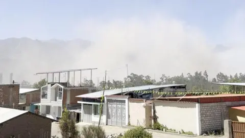
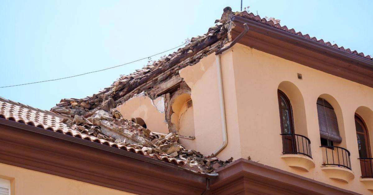
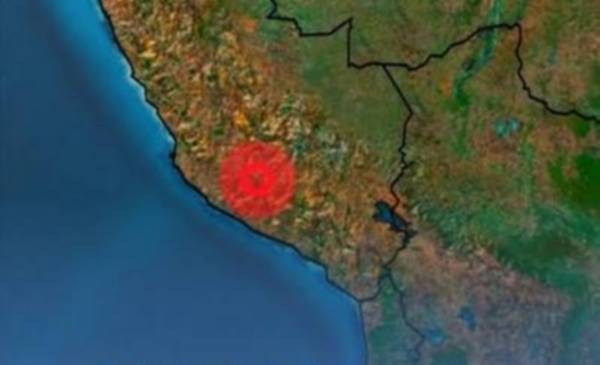
A magnitude 6.7 earthquake struck central Peru on Thursday, felt strongly across southern regions including Ayacucho, Ica and Arequipa, with no reported damage or injuries. The USGS reported a magnitude of 6.7 while Peru's IGP measured it at 7.2, with a depth of 108 km and maximum intensity of III-IV in Coracora. [1] The quake had its epicenter 35 kilometers north of the city of Coracora in the province of Parinacochas in the department of Ayacucho. [1] Peruvian officials including the head of the IGP, Civil Defense and local mayors confirmed no material damage, no injuries and no tsunami risk. [1] The Marina de Perú discarded any tsunami possibility in an official report. [1] The Centro de Operaciones de Emergencia Nacional issued a bulletin detailing perception levels across affected zones. [1]
Regional Impact and Public Reaction
The quake was felt in multiple districts of Parinacochas province in Ayacucho, as well as in Nazca in Ica and lightly in parts of Apurímac and Moquegua. [1] It registered strongly in the districts of Coracora, Chumpi, Coronel Castañeda, Pacapausa, Pullo, Puyusca, San Francisco de Ravavayco and Upahuacho. [1] The event produced a light impact in districts of Aymaraes, Cotabamba and Andahuaylas in Apurímac as well as in Omate, Chojata, Coalaque, Ichuña, La Capilla, Lloque, Matalaque, Puquina, Quinistaquillas, Ubinas and Yunga in Moquegua. [1] Minutes after the movement, videos linked to the tremor began circulating on social networks. [1] The head of the IGP, Hernando Tavera, stated that the perception of the earthquake was “bastante grande” and noted that the population had come out quite frightened into the streets. [1] Luis Vasquez, head of Civil Defense, told local radio RPP that no type of damage had been reported at the moment. [1] Yony Reyes, mayor of Parinacochas province, added that no affectations were reported in the provincial capital either. [1] The IGP reminded the public that it is the only state organism authorized to issue official seismic information and urged residents not to pay attention to false versions circulating online. [1]

Peruvian officials assess central Peru after 6.7-magnitude earthquake. — Source: antaranews
Philippine Earthquakes Registered by USGS
Separate magnitude 5.1 and 5.2 earthquakes struck the Philippines near Alegria and Jabonga. [2] [3] The magnitude 5.1 event occurred 1 km north of Alegria at a depth of 10.0 km. [2] The magnitude 5.2 event took place 19 km west of Jabonga at a depth of 10.0 km. [3] Both events were recorded by the USGS monitoring network that provides real-time data on seismic activity. [5]
Ongoing Recovery in Indonesia After Deadly Quake
In Indonesia, Vice President Gibran Rakabuming Raka visited East Nusa Tenggara to support psychosocial aid for survivors of the deadly magnitude 7.7 earthquake that hit Flores Island on 15 August. [4] Gibran arrived in NTT on Thursday, August 20, alongside six University of Indonesia psychology students to observe conditions and meet affected residents. [4] He began the agenda in Sikka District before continuing to East Manggarai and Manggarai districts. [4] During a visit to an evacuation center in Manggarai District on Friday, Gibran emphasized youth participation in relief measures and tasked the students with creating a safe environment for displaced children through games, storytelling, singing and other psychosocial activities. [4] The students are scheduled to remain in the area for one week to help residents, especially children, express their feelings and determine whether further treatment is needed. [4] Gibran called on more young people to contribute expertise in collaboration with central and regional institutions. [4]
Peru's Seismic Context and Preparedness Advice
Peru registers frequent seismic activity due to its location in the Pacific Ring of Fire. [1] One of the most destructive earthquakes in recent decades occurred in 2007 when a magnitude 7.9 event primarily affected the Ica region and left almost 600 dead. [1] Nearly one month ago six people died and dozens were injured after a magnitude 5.1 quake in a central region at a depth of 24 kilometers. [1] The Instituto de Defensa Civil recommends keeping an emergency backpack ready and maintaining calm at all times while moving away from windows, shelves and objects that could fall. [1] When evacuation is not possible, the institute advises locating a previously identified internal safety zone near structural columns or walls. [1]
US Seismic Monitoring and Safety Guidance
Estados Unidos maintains constant observation due to its high seismic activity across a complex system of tectonic plates. [5] Zones with the highest record of tremors include California, Alaska, Hawaii, Nevada, Texas, New York, New Jersey and the Washington D.C. region according to the most recent USGS data. [5] The USGS monitoring updates in real time and supplies detailed information on each seismic event including exact time, magnitude, depth and epicenter location. [5] Tools such as Latest Earthquakes and ShakeAlert provide interactive maps and early alerts that notify the population seconds before tremors are felt. [5] Before an earthquake, officials recommend designing a family emergency plan, identifying safe zones inside and outside the home, maintaining a kit with water, flashlight, radio, non-perishable food, first-aid supplies and important documents, and securing heavy furniture. [5] During an earthquake the guidance is to stay calm, avoid running outside, drop under a firm surface and hold on if indoors, or move away from buildings, power poles and trees if outdoors. [5] After an earthquake residents should check their health and that of those nearby, inspect the home without lighting fires if gas odor is detected, listen to official reports and report leaks or damage. [5]