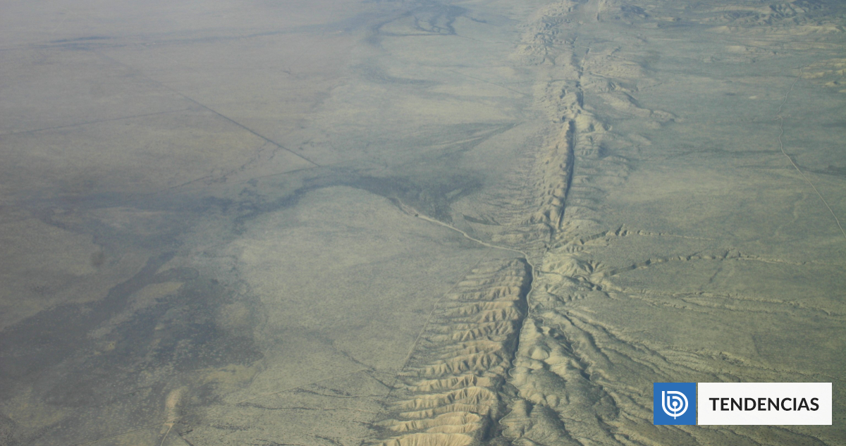
San Andreas Fault Stress Reaches Highest Level in 1,000 Years Near Los Angeles
A new scientific study has found that stress on the San Andreas and San Jacinto faults near Los Angeles has reached levels equal to or higher than any point in the past 1,000 years, raising concern about the potential for a major United States earthquake involving both fault systems. Researchers reached these conclusions through computer simulations that reconstructed 1,000 years of paleoseismic data on segments including the Mojave South section of the San Andreas and the San Jacinto Bernardino segment. [4]
Current Seismic Stress Levels on California Faults
The area of highest stress is at Cajon Pass, an earthquake gate about 80 kilometers from downtown Los Angeles where the San Andreas and San Jacinto faults converge and could allow a rupture on one fault to propagate to the other. [3] Researchers used computer simulations of 1,000 years of paleoseismic data to determine current stress levels on segments including the Mojave South section of the San Andreas and the San Jacinto Bernardino segment. [4] The segment San Jacinto Bernardino recorded the highest load within the complex junction of faults analyzed. [3] According to the study published in the Journal of Geophysical Research, several sectors near Cajon Pass present some of the highest tension levels of the entire millennium studied. [3] The faults of San Andreas and San Jacinto are in a state of critical loading, with current tension levels equal to or higher than those observed during the last millennium. [3]
Historical Context and Past Major Earthquakes
The last major rupture in the region was the 1857 Fort Tejon earthquake of magnitude 7.9; a 1812 event ruptured both faults, but the 1857 rupture did not cross Cajon Pass. [4] The 1812 Wrightwood earthquake ruptured both faults, providing an example of how activity on one system can cross the pass and affect the other. [4] More than 100 years have passed since these faults produced a large earthquake, during which accumulated tension increased steadily in key sectors of both systems. [3] The study indicates that stress along multiple portions of the faults is the highest it has been in at least a millennium. [4] Liliane Burkhard, the study’s lead author, stated that current stress levels are at or above the high end of historical ranges, placing the system in a state not seen in the past 1,000 years. [4]
The San Andreas Fault near Los Angeles has reached its highest stress level in 1,000 years. — Source: gdelt
USGS Monitoring and Real-Time Reporting
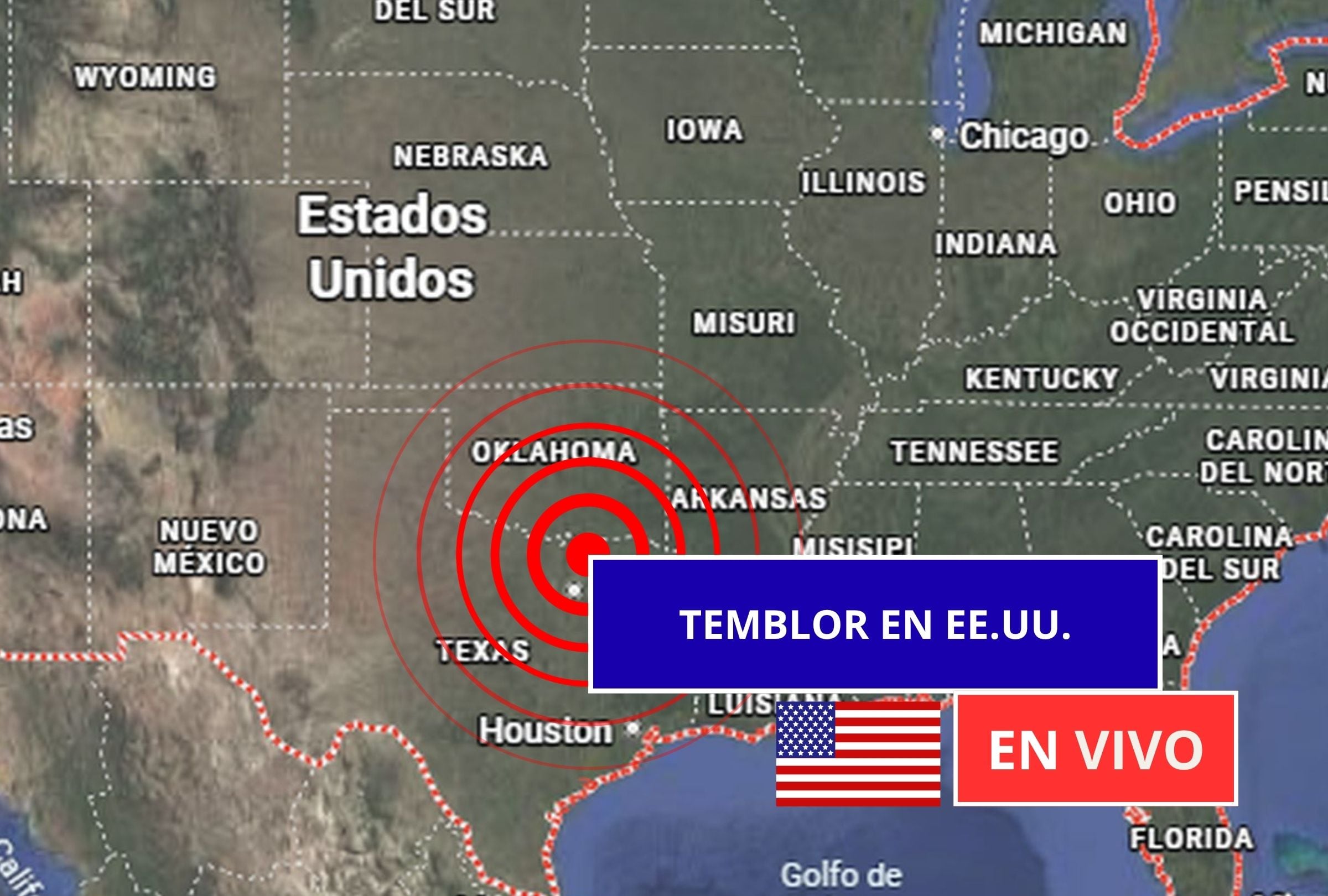
The USGS continuously monitors seismic activity across the United States with real-time reports on magnitude, depth, and epicenters, and provides tools such as ShakeAlert for early warnings. [1] The zones with the highest record of earthquakes include California, Alaska, Hawaii, Nevada, Texas, New York, New Jersey, and the Washington D.C. region, according to the most recent data from the United States Geological Survey. [1] The USGS monitoring updates in real time and supplies detailed information on each seismic event, including exact time, magnitude, depth, and epicenter location. [1] Tools such as Latest Earthquakes and ShakeAlert complement official information by offering interactive maps and early alerts that notify the population seconds before they perceive a tremor. [5] On Tuesday the USGS published the report of the latest tremors recorded in the United States, allowing the population to track seismic activity and know precisely where and when these events occur. [5]
Earthquake Preparedness Guidance
Before an earthquake, officials recommend designing a family emergency plan and conducting periodic drills while identifying safe zones inside and outside the home. [1] A kit should contain water, a flashlight, radio, non-perishable food, a first-aid kit, and important documents, and heavy furniture should be secured. [5] During an earthquake, remain calm and avoid running or exiting hastily; if indoors, drop, cover under a firm surface, and hold on while staying away from windows and hanging objects. [1] If outdoors, move away from buildings, power poles, and trees, and never use elevators or stairs during the shaking. [5] After an earthquake, check personal health and that of those nearby, inspect the home, and do not light fires if gas odor is detected while listening to official reports. [1] An emergency kit must include bottled water, non-perishable foods, a first-aid kit, flashlight with extra batteries, portable radio, and copies of important documents in a waterproof bag. [5]

Scientific map shows elevated stress levels on San Andreas and San Jacinto faults near Los Angeles. — Source: clarin
Common Questions About U.S. Earthquakes
Currently no technology exists that can predict with exact precision when an earthquake will occur, although constant monitoring and risk models allow identification of zones with high probability of seismic activity. [1] All updated and verified information on seismic activity in the United States can be consulted on the official USGS portal at earthquake.usgs.gov. [5] Earthquakes of magnitude above 5.0 can cause moderate damage, while those of 6.0 or greater represent an elevated risk for urban zones or areas with older constructions. [1] ShakeAlert is an early-warning system that detects the first signs of an earthquake and sends automatic notifications to mobile phones and emergency systems, granting vital seconds to take preventive measures. [5] The hypocenter is the exact point underground where seismic energy is released, while the epicenter is the vertical projection of that point on the Earth’s surface and is generally where the movement is felt with greatest intensity. [1]
Fault Systems Absorbing Plate Motion
The faults absorb about 90 percent of the relative motion between the Pacific and North American plates in Southern California and have produced at least 36 earthquakes of magnitude 6.4 or greater in the last 1,000 years. [3] Both the San Andreas and San Jacinto are strike-slip faults with segments of the Earth’s crust sliding horizontally. [4] Harold Tobin, director of the Pacific Northwest Seismic Network, noted that the 1,000-year simulation spans enough time to support a meaningful conclusion and that the paleoseismic record for the Southern California San Andreas and other faults is already a phenomenal achievement. [4] The stress conditions modeled suggest that a joint rupture of both systems is likely and perhaps more than at any point in the past millennium. [4]
What to watch next is continued real-time reporting from the USGS on seismic activity in the United States and any updates from ongoing monitoring of the Cajon Pass region.