
Hurricane Tracker Updates Show Severe Thunderstorms Hit Michigan and Indiana
Severe thunderstorms are producing damaging winds and hail across parts of the United States while Saudi Arabia has issued a red alert for heavy rain in Mecca, amid a record-strengthening El Niño that scientists warn will bring extreme global weather impacts tracked by hurricane tracker systems.
Active Severe Thunderstorm Warnings in the US Midwest
A severe thunderstorm with 60 mph wind gusts and penny-size hail was located over Afton, Michigan, moving east at 25 mph and expected to affect Koehler Township and Tower around 355 PM EDT. [1] Radar indicated the hazard, with impacts including damage to roofs, siding, and trees. [1] Another severe thunderstorm with 60 mph wind gusts and quarter-size hail was near Winamac, Indiana, moving east at 15 mph and impacting southeastern Pulaski County and southwestern Fulton County until 430 PM EDT. [2] Radar indicated this hazard as well, with expected hail damage to vehicles and wind damage to roofs, siding, and trees. [2] These alerts come from National Weather Service issuances focused on the Midwest region.
Heavy Rain Red Alert Issued for Mecca
Saudi officials issued a red alert for heavy rain in parts of Mecca. [3] Civil defense urged residents to exercise caution and stay away from waterlogged areas and dams. [3] The warning highlights immediate safety measures for those in affected zones.
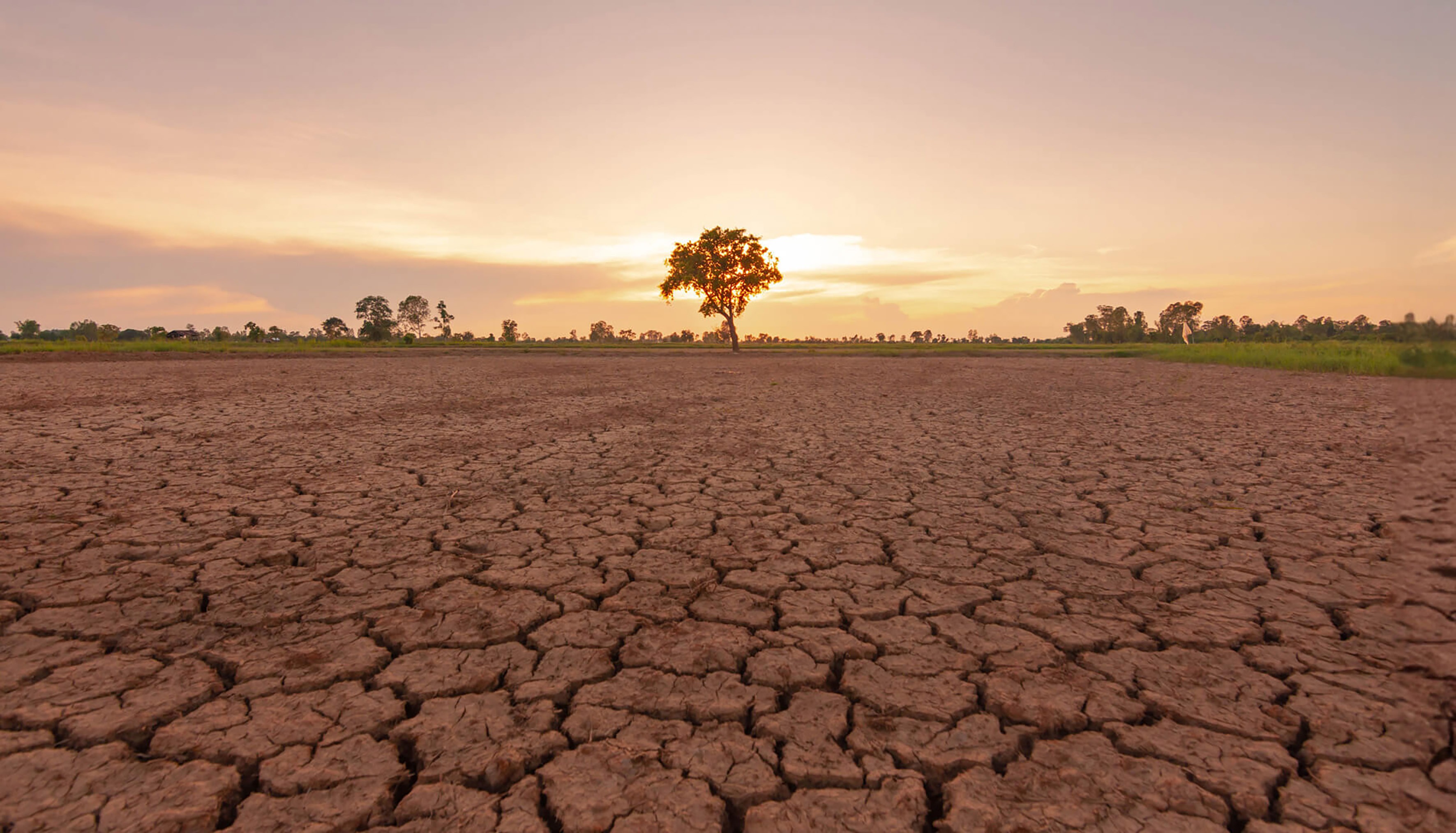
Severe thunderstorms bring damaging winds and hail to Michigan and Indiana amid record El Niño. — Source: dailymaverick
Record-Breaking El Niño Fuels Global Weather Concerns
Climate scientist James Hansen states the current El Niño is already the strongest on record based on upper 300m Equatorial Pacific Ocean heat anomaly, exceeding the 1997-98 super El Niño, with peak effects still months away. [4] Hansen described the event as off the charts in a newsletter issued with colleagues on 21 August, noting that usual measures have blown past prior record levels even though maximum effects remain several months in the future. [4] The preferred metric used by Hansen and colleagues is the heat anomaly in the upper 300m of the Equatorial Pacific Ocean. [4] This anomaly already exceeds the 1997-98 super El Niño according to Hansen’s calculations. [4] He has dubbed this event the super-duper El Niño. [4] The ongoing El Niño is expected to fade before March or April next year. [4]
New Global Sea Surface Temperature Record
Global ocean temperatures reached a new record daily average of 21.1°C on 22 August according to Copernicus Climate Change Service, occurring unusually in late winter for the Southern Hemisphere. [4] The Copernicus Climate Change Service confirmed the record with a temperature of 21.1°C on 22 August, exceeding the previous record of 21.09°C. [4] The timing of the record is particularly notable because global ocean temperatures are typically highest in March and April following the austral summer. [4] This new record was set in August. [4] All climate indicators at the moment are off the charts and flashing red according to the analysis. [4]
South African Preparations for Drought and Water Stress
For South Africa this El Niño portends a summer of blazing drought during the key growing season for maize and other grains. [4] South Africa is in a good position on some fronts with last season’s bumper maize crop providing a surplus and food inflation currently at 16-year lows. [4] Soil moisture and dam levels are brimming thanks to recent La Niñas. [4] Dam levels in all nine provinces currently exceed 80% according to data compiled by the Department of Water and Sanitation. [4] The Government of National Unity should consider establishing an El Niño war room to confront this head-on. [4] In its latest Green Drop, Blue Drop and No Drop reports the Department of Water and Sanitation estimated that 47% of South Africa’s water goes down the drain before it reaches customers. [4] Water losses amounted to R14.89-billion in the 2023/24 financial year. [4] This super-duper El Niño arrives on a planet already infected by human-made global warming with heatwaves increasing at sea and on land. [4]
Significant Winter Storm Brings Snow to New Zealand
NZTA has attempted to reassure motorists that crews will work to keep roads safe in the cold conditions. [5] Snow has closed roads as a significant winter storm hits the South Island. [5]
What to watch next includes continued monitoring of the El Niño strength and its effects on global temperatures along with regional responses to the associated weather patterns.