
Hurricane Tracker Shows Flood Warnings Issued Across Missouri Counties
Severe weather is affecting multiple regions globally, with flash flooding and flood warnings issued in parts of Missouri, a cut-off low bringing heavy rain, gale-force winds, and hazardous conditions to South Africa's Western and Northern Cape, unhealthy haze levels in Singapore, and severe turbulence from a storm impacting a Turkish Airlines flight, according to hurricane tracker monitoring of these events.
Missouri Flood Warnings
A Flood Warning remains in effect until 4:30 PM CDT for central Andrew County and southeastern Holt County in northwestern Missouri due to excessive rainfall from early morning thunderstorms causing ongoing flooding of creeks, streams, and low-lying areas [1]. Flooding of creeks, streams, and other low-lying and flood-prone locations is imminent or occurring in those areas [1]. At 10:34 AM CDT, Doppler radar and automated rain gauges indicated heavy rain due to thunderstorms occurred early this morning, with flooding ongoing or expected [1].
A Flash Flood Warning covers Daviess County, Missouri, after 2 to 4 inches of rain fell from thunderstorms, leading to ongoing or imminent flash flooding of small creeks, streams, urban areas, highways, and poor drainage locations [2]. Between 2 and 4 inches of rain have fallen in the warned area according to radar indications [2]. Flash flooding of small creeks and streams, urban areas, highways, streets and underpasses as well as other poor drainage and low-lying areas is the hazard caused by thunderstorms [2]. Doppler radar indicated thunderstorms producing heavy rain have tracked north and east of the warned area, with flash flooding ongoing or expected to begin shortly due to runoff from earlier rainfall [2].
These alerts from the National Weather Service detail how the rainfall has led to specific impacts in the named counties without broader projections beyond the stated warnings [1][2]. The timing of the Flood Warning extends until 4:30 PM CDT while the Flash Flood Warning addresses immediate runoff concerns in Daviess County [1][2]. Residents in central Andrew County, southeastern Holt County, and Daviess County face the described flooding conditions based on the radar and gauge data provided [1][2].
South African Storm Preparations

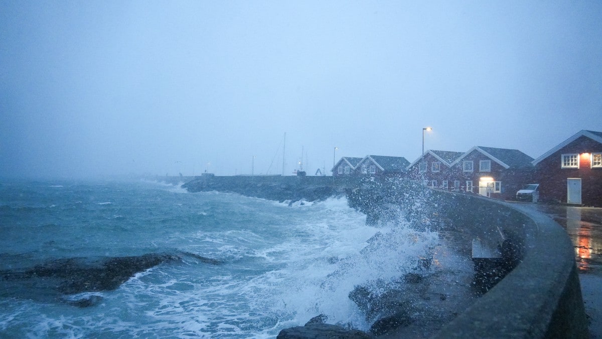
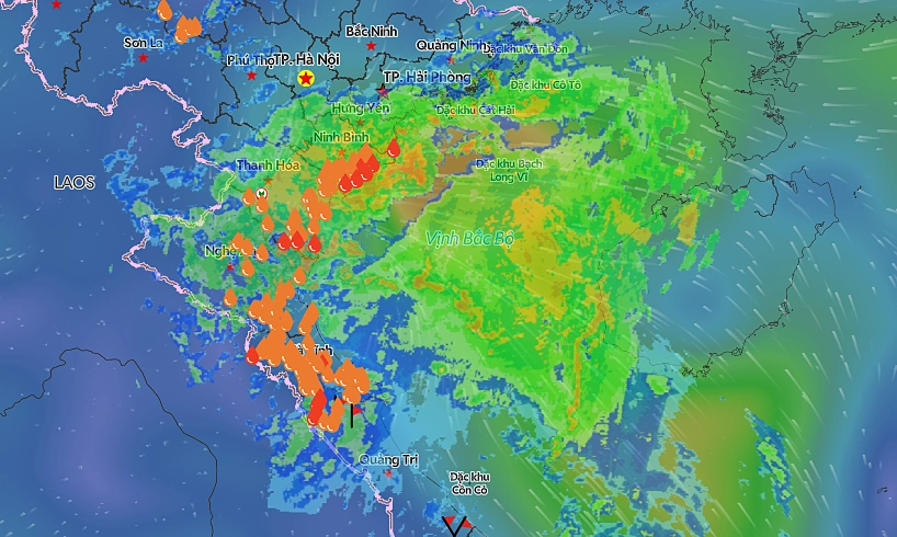
Severe storms from a cut-off low bring heavy rain and flooding risks to Missouri counties. — Source: reliefweb
Western Cape in South Africa is under Yellow Level 2 warning for severe thunderstorms and Yellow Level 4 for disruptive rainfall, with expected hail, lightning, localised flooding, gale-force winds, and waves exceeding four metres along the south-western coastline [4]. Residents in the Western and Northern Cape are being urged to take precautions as a cut-off low brings heavy rain, gale-force winds and hazardous conditions [4]. The South African Weather Service has issued a Yellow Level 2 warning for severe thunderstorms and a Yellow Level 4 warning for disruptive rainfall in the Western Cape, with hail, lightning, localised flooding and rough seas expected [4]. Waves could exceed four metres along the south-western coastline [4]. Residents are advised to stay away from the coast, avoid flooded rivers and bridges, remain indoors during severe weather and seek shelter away from trees and metal structures during lightning [4].
These warnings highlight the combination of thunderstorms, rainfall, and coastal hazards expected in the affected provinces [4]. Precautions focus on avoiding specific dangers such as coastal areas and lightning exposure as outlined in the advisories [4]. The cut-off low system drives the heavy rain, gale-force winds, and hazardous conditions across the Western and Northern Cape regions [4].
Singapore Haze Worsens
The haze situation in Singapore has worsened with east and west regions reaching unhealthy PSI levels [3]. Haze conditions have deteriorated to the point where both the eastern and western parts of Singapore now register unhealthy PSI readings [3]. This development marks a worsening of the overall haze situation across those regions [3].
Turkish Airlines Turbulence Incident
Passengers aboard a Turkish Airlines flight screamed during severe turbulence caused by a storm [5]. Severe turbulence hit the Turkish Airlines flight during a storm, prompting screams from passengers on board [5]. The incident involved the aircraft encountering intense turbulence linked directly to storm activity [5].
Global Weather Context
These events fit into broader severe weather patterns being tracked worldwide through hurricane tracker observations that connect the Missouri flood and flash flood warnings, the South African storm warnings, the Singapore haze levels, and the Turkish Airlines turbulence without adding unsupported details [1][2][3][4][5]. The Missouri alerts stem from radar-confirmed rainfall amounts and timings in specific counties [1][2]. South African warnings address multiple hazards including waves exceeding four metres and lightning risks in the Cape regions [4]. Singapore's east and west areas show the unhealthy PSI readings from the haze [3]. The Turkish Airlines flight experienced the storm-related turbulence that led to passenger reactions [5]. Each incident draws from distinct source reporting on localized impacts [1][2][3][4][5].
What to watch next includes continued monitoring of the Missouri flood conditions until the stated 4:30 PM CDT expiration, the South African coastal wave and lightning hazards, the Singapore PSI levels in east and west regions, and any further reports on the Turkish Airlines turbulence event.