
Earthquakes Today Include Magnitude 5.0 Event West of Labuha in Indonesia
Multiple earthquakes struck various global locations in late August 2026, including a magnitude 5.0 event west of Labuha in Indonesia, a magnitude 4.2 deep quake south of the Fiji Islands, and a magnitude 3.8 tremor in Colombia's Chocó department, while officials in Indonesia's East Nusa Tenggara region began assessing damage from a prior quake to guide rebuild efforts. Earthquakes today continue to draw attention from monitoring agencies tracking activity across multiple regions.
Recent Global Earthquakes
A magnitude 5.0 earthquake occurred at a depth of 41.9 km, 64 km west of Labuha, Indonesia. [3] A magnitude 4.2 earthquake struck at a depth of 602.3 km south of the Fiji Islands. [2] A magnitude 3.8 earthquake hit at a depth of 43 km near Istmina in Colombia's Chocó department on August 28, 2026, and was felt in several areas. [5] These events were recorded through official seismic reporting channels that provide precise details on magnitude, depth, and epicenter locations.
Indonesia Earthquake Recovery Efforts
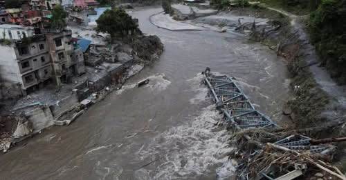
Indonesia's Minister of Public Works inspected damaged churches and mosques in Manggarai District following the Flores quake and instructed that repairs or reconstructions follow build-back-better standards incorporating local wisdom and safety requirements. [4] The minister personally inspected St. Peter and Paul Church in Dampek and Nurul Huda Reo Mosque, emphasizing that restoration must be carried out swiftly based on damage assessments while coordinating with local parties including pastors and parish administrators. [4] Repairable buildings should undergo rehabilitation, while severely damaged structures require reconstruction using stronger standards suited to earthquake-prone areas. [4] The approach follows the build-back-better principle to improve quality, safety, and resilience without compromising local wisdom. [4]

Indonesian minister inspects churches and mosques damaged by earthquake in East Nusa Tenggara. — Source: antaranews
US Seismic Monitoring Overview
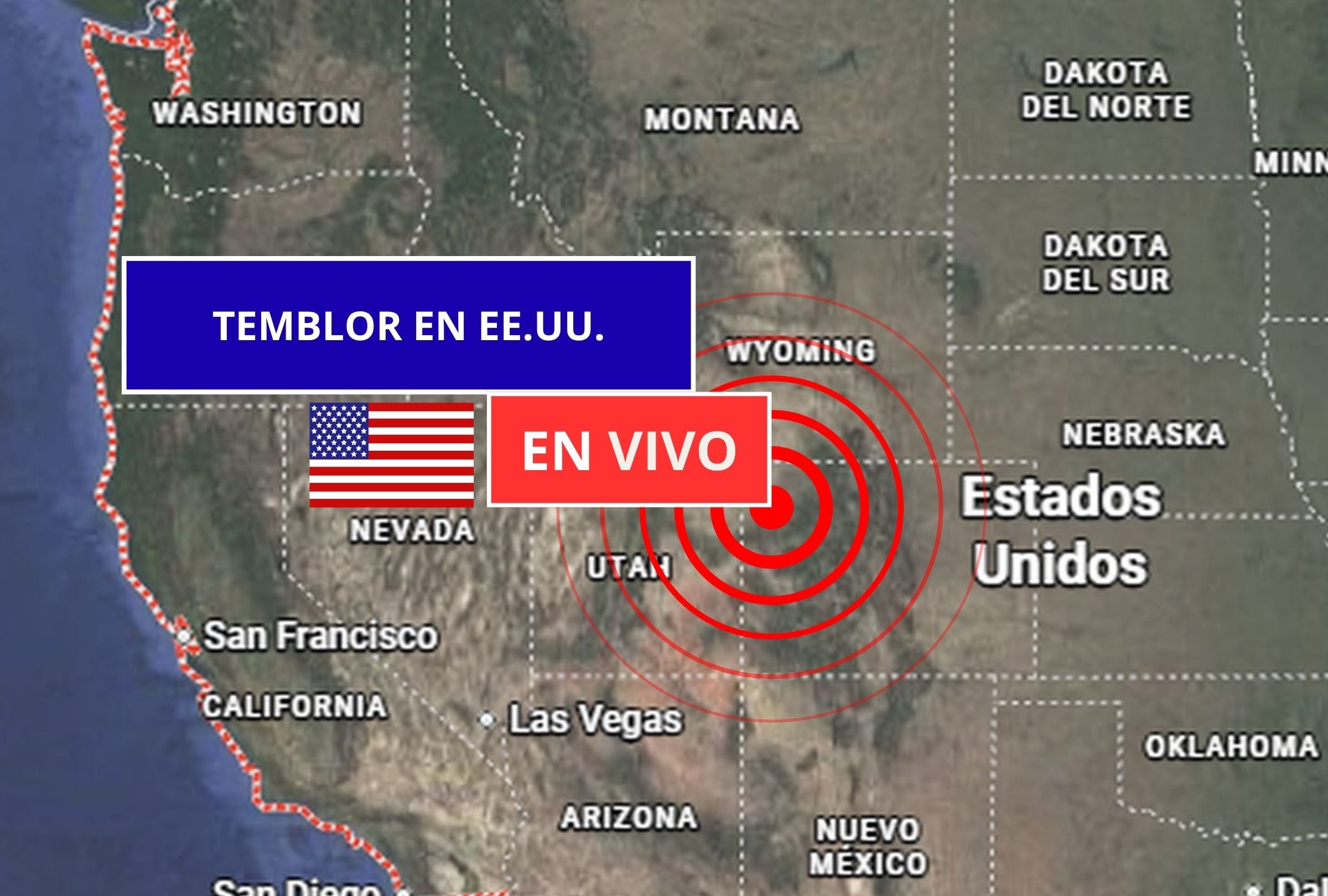
The USGS provides real-time monitoring of seismic activity across the United States, which lies on a complex tectonic system with frequent quakes in states such as California, Alaska, Hawaii, Nevada, and others. [1] The monitoring updates in real time and supplies details on exact time, magnitude, depth, and epicenter location for each event. [1] Tools such as Latest Earthquakes and ShakeAlert offer interactive maps and early alerts that notify users seconds before shaking is felt. [1]
Earthquake Safety Guidelines
Safety guidance for earthquakes includes preparing emergency kits, drop-cover-hold procedures, post-quake inspections for gas leaks, and avoiding elevators or running during shaking. [1] Before an event, families should design an emergency plan, identify safe zones, maintain a kit with water, flashlight, radio, non-perishable food, first-aid supplies, and important documents, and secure heavy furniture. [1] During shaking, remain calm, drop under a firm surface and hold on, stay away from windows and hanging objects, and avoid elevators. [1] After shaking, check for injuries, inspect for gas odors before using fire, listen to official reports, and report damage to emergency lines. [1]
Common Questions About Earthquakes
Earthquakes cannot be predicted with exact timing, though constant monitoring identifies high-probability zones. [1] The magnitude scale is logarithmic, with each whole-number increase representing about 32 times more energy released at the hypocenter. [1] The Pacific Ring of Fire is a zone of intense seismic and volcanic activity around the Pacific Ocean that accounts for approximately 90 percent of the world's earthquakes. [1] Soft or sedimentary soils tend to amplify seismic waves, increasing perceived intensity compared with solid rock. [1] The ShakeAlert system detects early signs of an earthquake and sends automatic notifications to mobile devices, providing seconds of warning time. [1] Deep earthquakes are felt less intensely at the surface because seismic waves lose energy while traveling through greater volumes of rock. [1]