
USGS and Local Agencies Log Earthquakes Today Across Asia, the Pacific and South America
Reports confirm that earthquakes today struck various regions worldwide on October 19, 2026, including a magnitude 4.5 event in China, a magnitude 5.0 quake in Vanuatu, and several smaller tremors across Peru and Colombia as reported by local geophysical institutes. [2] [1] [4]
Recent Earthquake Activity Worldwide
Multiple earthquakes struck various regions worldwide on October 19, 2026, including a magnitude 4.5 event in China, a magnitude 5.0 quake in Vanuatu, and several smaller tremors across Peru and Colombia as reported by local geophysical institutes. [2] [1] [4] A M4.5 earthquake occurred at a depth of 10.0 km, 156 km SE of Kuqa, China. [1] A M5.0 earthquake struck at a depth of 10.0 km, 205 km NW of Port-Olry, Vanuatu. [4] In Peru, the IGP recorded a M3.5 tremor at 07:08 local time near San Mateo, Huarochirí in Lima at 15 km depth, a M4.5 event at 11:41 near Pucallpa in Ucayali at 145 km depth, and a M3.7 quake at 09:54 near Santa María de Nieva in Amazonas at 16 km depth. [2] [3] A M2.2 earthquake was recorded in Colombia's Tolima department near Chaparral at 10:22 local time with a shallow depth. [5] Peruvian authorities emphasize prevention measures, emergency plans, and official reporting channels due to the country's location in the Pacific Ring of Fire. [2] [3] These events illustrate the ongoing seismic monitoring conducted by agencies such as the USGS and national institutes, which track activity across continents and oceans using precise location data and depth measurements. [1] [4] The distribution of these quakes highlights patterns in regions prone to tectonic movement, with details on each event drawn directly from official reports issued on the day in question.
Earthquakes in Peru on October 19, 2026
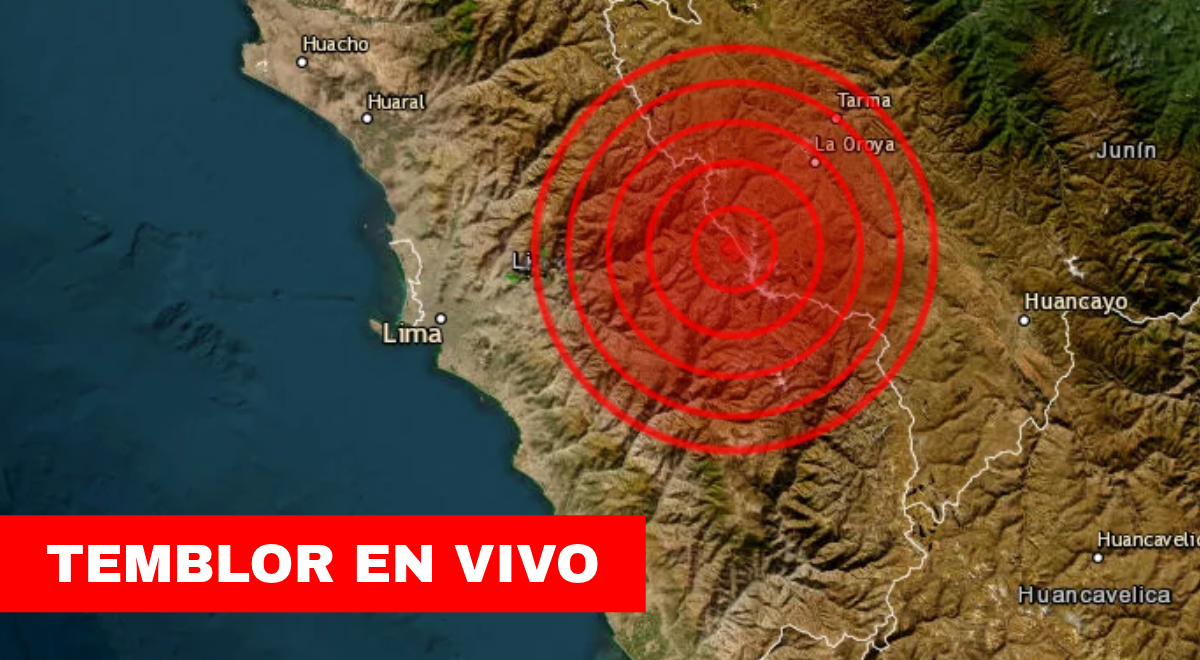
In Peru, the IGP recorded a M3.5 tremor at 07:08 local time near San Mateo, Huarochirí in Lima at 15 km depth, a M4.5 event at 11:41 near Pucallpa in Ucayali at 145 km depth, and a M3.7 quake at 09:54 near Santa María de Nieva in Amazonas at 16 km depth. [2] [3] The Lima event carried an intensity of II-III and was located 8 km to the NE of San Mateo, Huarochirí. [2] The Ucayali event carried an intensity of II-III and was located 65 km to the N of Pucallpa, Coronel Portillo. [3] The Amazonas event carried an intensity of II-III and was located 9 km to the N of Santa María de Nieva, Condorcanqui. [3] These reports from the IGP provide exact times, magnitudes, depths, and reference points for each tremor, allowing residents to understand the characteristics of the movements recorded on October 19, 2026. [2] [3] The sequence began with the early morning Lima quake at 07:08, followed by the Amazonas event at 09:54, and concluded with the deeper Ucayali quake at 11:41. [2] [3] Authorities note that such details help contextualize how the events were felt in nearby areas without causing widespread disruption based on the recorded intensities. [3]
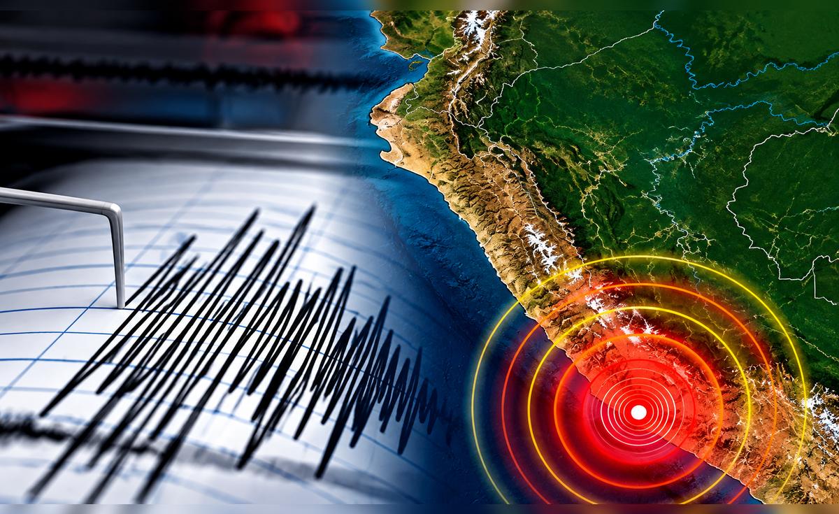
Peru earthquake monitoring map shows seismic activity near San Mateo, Pucallpa and Santa María de Nieva on October 19 2026. — Source: gdelt
Seismic Event in Colombia
A M2.2 earthquake was recorded in Colombia's Tolima department near Chaparral at 10:22 local time with a shallow depth. [5] The movement occurred at 10:22:18 and had a depth inferior to 70 kilometers, originating relatively close to the surface. [5] It was located using nine monitoring stations and appears with automatic status in the SGC report. [5] Nearby municipalities include Roncesvalles at 14 kilometers, San Antonio at 21 kilometers, and Chaparral at 29 kilometers. [5] The coordinates listed are latitude 3.90 degrees and longitude -75.67 degrees. [5] No information on damages or injuries was included in the technical record from the Servicio Geológico Colombiano. [5] The low magnitude corresponds to limited intensity, though perception can vary with distance from the epicenter and local ground conditions. [5]
Quakes in China and Vanuatu
A M4.5 earthquake occurred at a depth of 10.0 km, 156 km SE of Kuqa, China. [1] A M5.0 earthquake struck at a depth of 10.0 km, 205 km NW of Port-Olry, Vanuatu. [4] The USGS provided these location and magnitude details for both events, confirming the precise distances from the referenced population centers. [1] [4] Both quakes registered at identical depths of 10.0 km, which forms part of the standard parameters reported for seismic events in these regions. [1] [4] Monitoring by the USGS captures such activity across Asia and the Pacific, supplying data on epicentral positions without additional commentary on effects. [1] [4]
Peru’s Seismic Context and Prevention Advice
Peruvian authorities emphasize prevention measures, emergency plans, and official reporting channels due to the country's location in the Pacific Ring of Fire. [2] [3] The location of Peru places it in the Círculo de Fuego del océano Pacífico, a zone that concentrates 85 percent of worldwide seismic activity and is shared with countries including those in Central America, Chile, Alaska, and Japan. [3] The coastal area is affected by the interaction of the Nazca and Continental tectonic plates, whose friction produces the seismic phenomena. [3] The IGP advises citizens and regional governments to adopt prevention and evacuation measures ahead of possible large-magnitude events. [2] A family emergency plan helps define safe zones, evacuation routes, meeting points, and responsibilities for each household member, including needs of children, older adults, persons with disabilities, and pets. [3] During a quake, maintain calm, proceed to established safe zones, attend to minors and older adults, move away from windows, exterior doors, walls, mirrors, and glass, and keep distance from electrical cables and poles. [3] After a quake, check for gas leaks, call emergency numbers such as bomberos 116, Cruz Roja (01) 2660481, and SAMU 106, assist the injured, watch for aftershocks, avoid damaged houses, and move away from the sea until any tsunami risk is ruled out. [3] An emergency backpack should contain water, non-perishable food, flashlight, radio, batteries, first-aid kit, masks, important documents, and hygiene items, adjusted for household needs. [3] Evacuation routes must stay clear of obstacles, and residents should identify exits and safe areas in advance. [3] After an event, avoid prolonged phone calls to prevent network congestion and use text messages or messaging apps instead. [3] Not every coastal quake generates a tsunami, so the population should await statements from the Dirección de Hidrografía y Navegación de the Marina de Guerra. [3] The greatest seismic activity concentrates in Lima, Arequipa, and Ica, followed by Junín, Ucayali, and Pasco. [3] Official channels of the IGP remain the recommended source for updates. [3]
Understanding Magnitude, Intensity, and Depth
The magnitude measures the total energy released by a quake at its origin, while the intensity measures how the movement is felt and the damage it causes at a specific location. [3] Depth serves as one of the parameters used to describe a seismic event, and together with magnitude and epicenter location it allows better understanding of the recorded movement. [3] Reports from the IGP include these elements to characterize each event fully, noting that no scientific method exists to predict the exact date, time, location, and magnitude of a future quake. [3] These distinctions help interpret the data released after each tremor on October 19, 2026.
What to watch next: Further updates from the IGP on any additional tremors in Peru and continued monitoring reports from the USGS and SGC on activity in China, Vanuatu, and Colombia.