
Tornado Warning Halts Flights at Chicago’s O’Hare and Midway Airports
Multiple tornado warnings and severe thunderstorm alerts were issued Tuesday across the central United States, including the Chicago metro area where a tornado warning covered four counties and grounded flights at O’Hare and Midway airports, while the UK faced its fifth heatwave of the summer on course to set a second consecutive record for warmest summer amid ongoing drought.
Tornado Warning Issued for Chicago Area
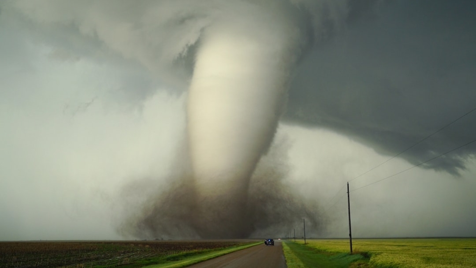
The National Weather Service issued a tornado warning for Will, DuPage, Cook and Lake counties in the Chicago area that remained in effect until mid-morning. [4] A severe thunderstorm watch was active until 2 p.m. for northeast Illinois and northwest Indiana. [4] Departures at O’Hare International Airport were halted until at least 11:15 a.m. and at Midway Airport until 11:30 a.m. because of the storms. [4] Winds gusting over 60 mph were reported with potential to reach 70-80 mph, strong enough to cause damage comparable to a tornado. [4] Kevin Donofrio, a meteorologist with the NWS' Chicago station, stated that the agency is observing a system of thunderstorms moving across the Mississippi River and advancing into Illinois. [4] According to Donofrio, the NWS has already received reports of wind gusts exceeding 60 miles per hour. [4] These winds are anticipated to intensify as they approach the Chicago area, potentially reaching speeds of 70 to 80 miles per hour. [4] “The winds from the storm can be as strong as those produced by a tornado,” Donofrio stated. [4] People are advised to get ready for potential power outages and significant rainfall. [4] The storms are anticipated to arrive in Chicago during the late morning hours, approximately between 10 a.m. and 11 a.m. [4] Residents are also advised to take refuge in a basement or an interior room. [4] The storms have the potential to generate damaging winds exceeding 75 miles per hour, which may result in heavy rainfall and flooding concerns. [4] At approximately 10:30 a.m., warning sirens were audible in various neighborhoods of Chicago. [4] By 11:05 a.m., the most intense storms were situated in the southwest suburbs and northwest Indiana, while powerful storms traversing Chicago moved across Lake Michigan. [4]
Ohio and Kentucky Under Severe Weather Alerts
A tornado warning was issued for northeastern Clermont County, central Brown County and southwestern Highland County in Ohio until 4:15 p.m. EDT after radar indicated rotation in a severe thunderstorm located 7 miles northeast of Batavia moving southeast at 50 mph. [1] At 3:47 p.m. EDT, a severe thunderstorm capable of producing a tornado was located 7 miles northeast of Batavia, moving southeast at 50 mph. [1] Hazard includes tornado, with source radar indicated rotation. [1] Impact includes flying debris that will be dangerous. [1] A separate severe thunderstorm warning covered portions of southeastern Indiana, northern Kentucky and southwestern Ohio. [2] The warning applied to Ohio County in southeastern Indiana, northeastern Switzerland County in southeastern Indiana, Kenton County in northern Kentucky, Campbell County in northern Kentucky, Boone County in northern Kentucky, northern Grant County in northern Kentucky, northern Pendleton County in northern Kentucky, eastern Gallatin County in northern Kentucky and southeastern Hamilton County in southwest Ohio. [2]
UK on Track for Record Warmest Summer
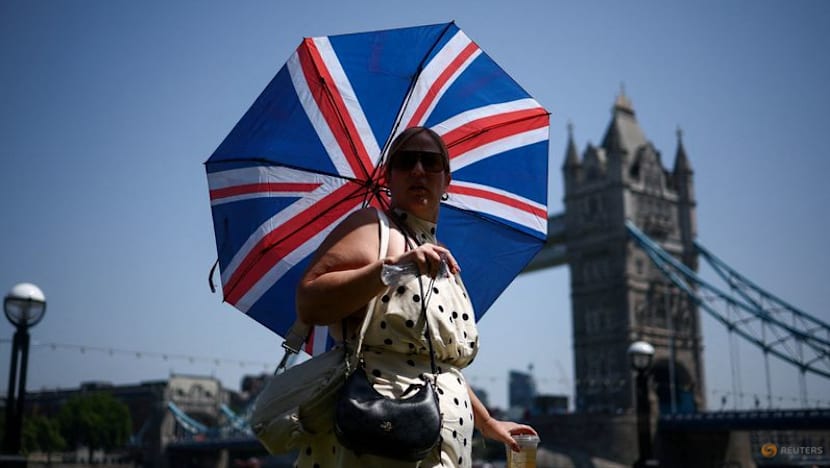
The UK Met Office stated Britain is on course to record its warmest summer for the second year in a row, with the mean temperature from June 1 to August 10 already at 16.48C. [3] Only average conditions for the rest of August would surpass last year’s record of 16.10C. [3] Britain last year sweltered through its hottest summer on record with a mean temperature of 16.10C, surpassing the previous record of 15.76C set in 2018. [3] The current average temperature for the summer, from June 1 to August 10, was already at 16.48C. [3] “The UK is on course to record its warmest summer on record for mean temperature, with only average conditions needed for the remainder of August to surpass the record set only last year,” the Met Office said in a statement. [3] “Another record-breaking summer now looks increasingly likely for the UK, following the second-warmest June, and second-warmest July on record and yet another heatwave imminent,” said Met senior scientist Mike Kendon. [3] “These statistics are a clear reminder - if one were needed - of the stark changes that we are seeing in the UK's climate.” [3]
Drought and Heatwave Impacts in Britain
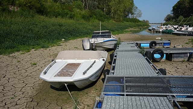
Nearly three-quarters of England and all of Wales are in drought after the driest July on record. [3] The fifth heatwave of the season is imminent. [3] Scientists link the increasing frequency and intensity of such extremes to climate change, which contributed to an estimated 2,877 excess deaths in England from May and June heat. [3] High temperatures and low rainfall in swathes of the country, which is built for more temperate weather, have also plunged almost three-quarters of England and all of Wales into drought. [3] England and Wales also experienced their driest July on record this year. [3] Scientists say climate change is making extreme weather events like heatwaves and droughts more intense, and resulting in records tumbling more frequently. [3] Heatwaves and record temperatures in May and June disrupted schools, transport and hospitals, leading to an estimated 2,877 excess deaths in England - almost double the total of the whole of summer 2025. [3]
France Faces Drought Effects on Agriculture
France is gripped by another heatwave as it also grapples with a record drought. [5] Nearly 70 percent of the country is facing water restrictions with agriculture bearing the brunt. [5] The production of milk has fallen significantly as extreme heat caused vegetation to dry up and the quality of dairy products, notably cheese, is threatened. [5]
What to watch next: The National Weather Service continues monitoring the system of thunderstorms moving into Illinois with potential for additional wind gusts, while the UK Met Office tracks whether average conditions through the rest of August will confirm the second consecutive record warm summer.