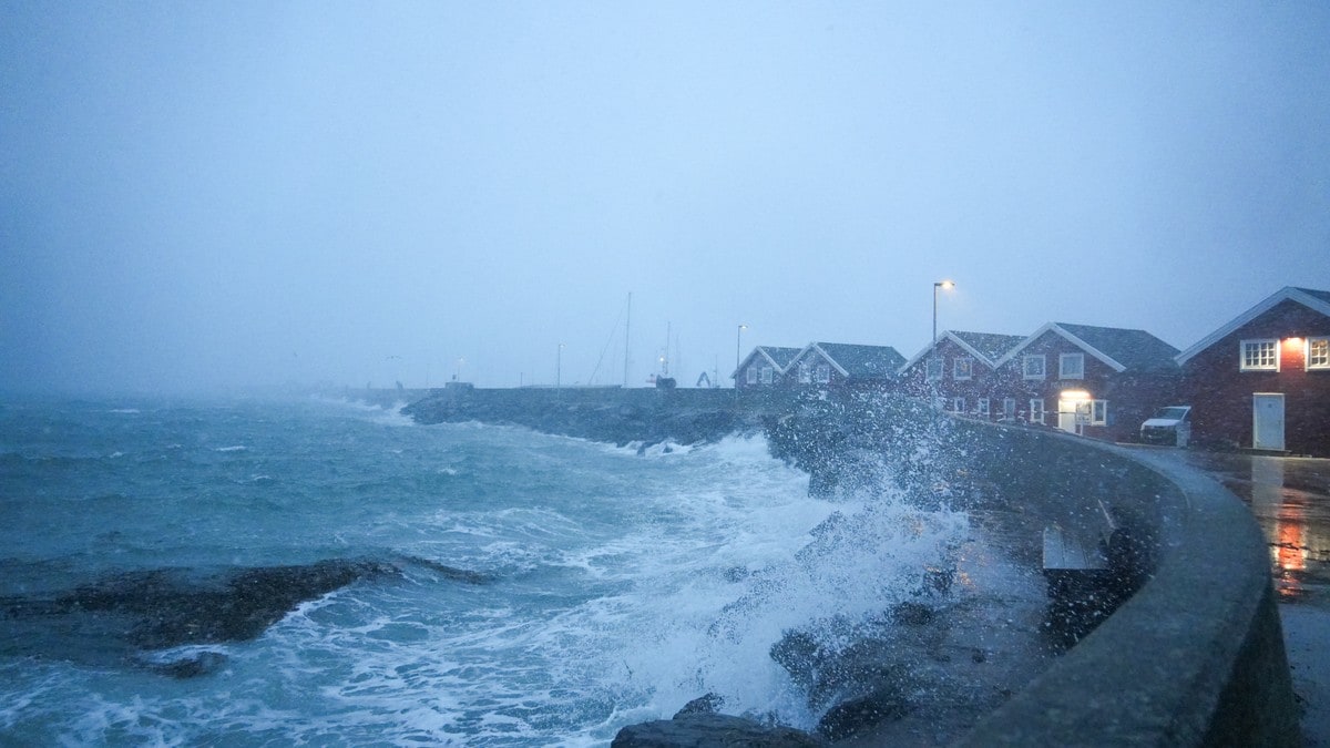
Severe Thunderstorms Bring Damaging 60 mph Winds to Utah and South Dakota
Severe thunderstorms with damaging winds are moving across parts of Utah and South Dakota while flash flooding threatens southern Utah and major river flooding continues along the Nueces River in Texas.
Active Severe Thunderstorm Warnings in Utah and South Dakota
A Severe Thunderstorm Warning remains in effect for Morgan County, Utah. At 744 PM MDT, severe thunderstorms were located along a line extending from 14 miles north of Morgan to near North Snyderville Basin to Granite, moving east at 25 mph. [1] The hazard includes 60 mph wind gusts reported by trained weather spotters. [1] The impact includes expected damage to roofs, siding, and trees. [1] A separate Severe Thunderstorm Warning covers Meade County, South Dakota. At 730 PM MDT, severe thunderstorms were located along a line from near Maurine to over Thompson Butte, or along a line from 24 miles west of Faith to 17 miles southeast of Rapid City, moving east at 30 mph. [2] The hazard includes 60 mph wind gusts and small hail indicated by radar. [2] The impact includes expected damage to roofs, siding, and trees. [2] These warnings highlight the rapid movement of the storms and the potential for immediate structural and vegetation impacts in the affected areas. The Utah warning notes the line of storms already positioned to affect multiple communities as it advances eastward. [1] The South Dakota warning similarly emphasizes radar confirmation of the hazards and the eastward progression at a slightly faster speed. [2] Both alerts underscore the consistency of the 60 mph wind threat across the two states despite differences in storm motion and confirmation sources. [1][2]
Flash Flooding Underway in Southern Utah
The National Weather Service in Salt Lake City has extended the Flash Flood Warning for central Kane County in southern Utah until 945 PM MDT. [3] At 729 PM MDT, strong thunderstorms that produced intense rainfall over Lick Wash and surrounding areas generated a flash flood wave moving downstream and through Buckskin Gulch. [3] Between 1 and 1.5 inches of rain have fallen, with flash flooding ongoing or expected to begin shortly. [3] The hazard is described as life threatening flash flooding. [3] This extension of the warning reflects the continued movement of the flood wave through the specified washes and gulches in the region. [3] The rainfall totals reported directly tie to the initiation of the flood wave now progressing through Buckskin Gulch and Lick Wash. [3] The timing of the extension until 945 PM MDT provides a defined window for the ongoing or imminent threat in central Kane County. [3]
Major Flooding Continues Along Texas Nueces River
The Flood Warning continues for the Nueces River near Three Rivers affecting Live Oak County and near Tilden affecting McMullen County. [4][5] For the Nueces River, major flooding is forecast. [4][5] The river near Three Rivers is expected to rise to a crest of 39.5 feet Friday morning, with a flood stage of 25.0 feet. [4] This crest compares to a previous crest of 39.5 feet on 10/19/2003. [4] The river near Tilden is expected to fall to 17.8 feet Monday evening, with a flood stage of 14.0 feet. [5] This level compares to a previous crest of 22.0 feet on 07/01/1942. [5] The forecasts indicate sustained major flooding conditions along both segments of the river into the coming days. [4][5] The matching historical crest at Three Rivers underscores the significance of the 39.5-foot projection relative to past events. [4] The gradual fall at Tilden remains above flood stage through Monday evening. [5]
Locations at Risk
Locations impacted by the Morgan County, Utah, Severe Thunderstorm Warning include Salt Lake City, Sandy, Murray, Park City, Morgan, Coalville, West Jordan, South Jordan, Draper, Cottonwood Heights, Midvale, Holladay, Summit Park, Kamas, Oakley, Wanship, and South Snyderville Basin. [1] Locations impacted by the Meade County, South Dakota, Severe Thunderstorm Warning include Faith, Wall, Union Center, Wasta, Scenic, Plainview, Enning, Owanka, Elm Springs, White Owl, Creighton, Marcus, Red Owl, Wicksville, and Ston. [2] The Flash Flood Warning applies to central Kane County in southern Utah, specifically involving Buckskin Gulch and Lick Wash. [3] The Flood Warning covers the Nueces River near Three Rivers in Live Oak County and near Tilden in McMullen County. [4][5] These named communities and river points provide the geographic scope of the active alerts across the affected states. [1][2][3][4][5]
Safety Information from National Weather Service
The alerts originate from the National Weather Service offices including Salt Lake City. [1][2][3] The reports reference the official safety information available at http://www.weather.gov/safety/flood for flooding guidance. [4][5] Residents in warned areas are directed to these National Weather Service sources for the most current details on the thunderstorm, flash flood, and river flood threats. [1][2][3][4][5] The consistent provision of the flood safety link across the river warnings reinforces the availability of standardized preparedness resources. [4][5]
What to watch next: The Severe Thunderstorm Warning for Morgan County, Utah, continues with storms moving east at 25 mph, while the Meade County, South Dakota, warning tracks storms moving east at 30 mph. The Flash Flood Warning for central Kane County remains extended until 945 PM MDT. The Nueces River near Three Rivers is forecast to crest at 39.5 feet Friday morning, and the segment near Tilden is expected to fall to 17.8 feet Monday evening.