Peru Earthquake Injures Three and Damages Dozens of Buildings in Ayacucho
A magnitude 7.2 earthquake struck near Coracora in Peru's Ayacucho region on 20 August 2026, injuring at least three people, damaging homes, schools and health facilities, and causing power outages across affected areas. The Peru earthquake registered at 13:00 local time according to multiple reports.
Overview of the 20 August 2026 Earthquake
The quake's epicenter was located 35 km north of Coracora in Parinacochas province, Ayacucho, at a depth of 108 km according to the IGP or 100 km according to the USGS. [2] The Geophysical Institute of Peru recorded the earthquake as having a magnitude of 7.2 while the US Geological Survey recorded it as magnitude 6.7. [3] The intensity reached III-IV in Coracora according to the IGP. [2] The event struck at around 13:00 local time at a depth of 100 km around 31 km north-west of Aniso in a remote part of the Andes. [3]
Reported Damage and Injuries
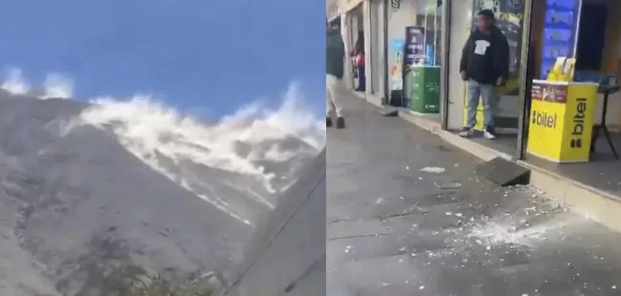
A damaged building stands in Ayacucho, Peru, after the magnitude 7.2 earthquake. — Source: gdelt
At least three people have been injured and buildings have been damaged after the Peru earthquake struck. [3] Peru's defence minister Rafael Belaunde said 22 homes and six schools were damaged. [3] Damage was reported at 10 healthcare facilities in the Ayacucho region and two were damaged in the neighbouring Cusco region, but services remained operational according to Peru's National Institute of Civil Defence. [3] Around 9,000 properties also lost power. [3] Nine educational facilities were damaged in total. [3] Three people had been hurt but did not suffer serious injuries according to Peruvian newspaper El Comercio. [3]
Seismic Activity in Surrounding Regions
Tremors were felt across southern regions including Arequipa, Ica, Cusco, Apurímac and as far as Lima. [2] The sismo se sintió en toda la región sur del país and reached Arequipa, Ica, Cusco and Apurímac while also being perceived in Lima where the movement was noted mainly in the parts altas of buildings. [2] The temblor was prolonged and lasted cerca de un minuto. [2] The IGP reported four temblores in regions of the center and south of the country in the hours around the main event. [1] The largest of these reached 3.8 degrees and was located 96 km south of Ilo, Moquegua at 15:39 with a depth of 25 km. [1] Other events included a 3.5 magnitude quake at 18:23 located 11 km east of the city in Moquegua province, a 3.5 magnitude event at 19:40 located 12 km west of Cangallo in Ayacucho at 11 km depth, and a 3.4 magnitude quake at 17:09 located 15 km north of Huasicancha in Huancayo, Junín at 10 km depth. [1] All presented intensity II to III on local scales. [1] The IGP also recorded additional events on 20 August 2026 including a magnitude 4 quake at 20:24 located 26 km north of Coracora and a magnitude 4.2 quake at 16:30 located 28 km north of Coracora. [5]
Official Response and Tsunami Assessment
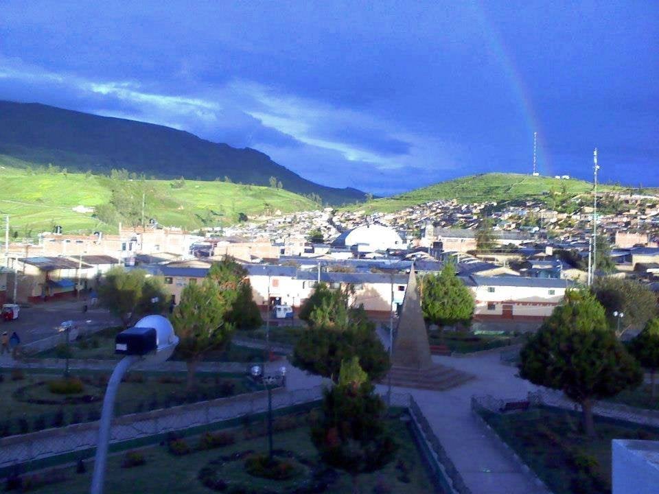
A magnitude 7.2 earthquake struck near Coracora in Peru's Ayacucho region injuring three and damaging dozens of buildings. — Source: gdelt
Authorities have descartado activar the alerta de tsunami. [2] The Dirección de Hidrografía y Navegación del Perú confirmed that the sismo no genera riesgo de tsunami en el litoral peruano according to data from the IGP. [2] No fatalities have been reported. [2] Authorities of Defensa Civil informed that until the moment no daños materiales ni víctimas personales have been registered while maintaining preventive monitoring in the affected zones. [1] The defence minister Rafael Belaunde has been involved in co-ordinating the emergency response. [3]
Peru's Position in the Ring of Fire
Peru lies in the Pacific Ring of Fire where 85% of global seismic activity occurs due to Nazca and South American plate interaction. [1] The country se sitúa geográficamente en el Cinturón de Fuego del Pacífico, región caracterizada por albergar aproximadamente el 85 % de la actividad sísmica a nivel mundial. [1] Peru se encuentra en el Cinturón de Fuego del Pacífico, una de las zonas más sísmicas del planeta where frequent movements of distinct magnitude occur. [2] The ubicación geográfica del país lo expone a eventos de este tipo de manera recurrente. [2] The principal origin of the temblores y terremotos is the process of subducción whereby the Placa de Nazca se desplaza por debajo de the Placa Sudamericana. [5] This same geological process has been determinant in the formation and evolution of the Cordillera de los Andes. [5]
Emergency Preparedness Recommendations
The IGP recommends maintaining an updated plan familiar de emergencia, identifying previously the rutas de evacuación, counting with a mochila de emergencia equipada, participating in the simulacros nacionales and consulting information únicamente a través de fuentes oficiales. [5] These actions permit responding with greater rapidez y organización frente a una eventual emergencia. [5] In case of emergency the authorities recommend communicating with Bomberos at 116, Policía Nacional del Perú at 105, SAMU at 106 and INDECI through local and regional authorities. [5]
What to watch next: The IGP continues reporting the latest sismos in real time with details on magnitude, depth, epicenter location and estimated intensity while maintaining constant monitoring of each event to provide official and timely information to the population.