
Magnitude 4.9 Earthquake Strikes Volcano Islands Japan Region During earthquakes today
Multiple earthquakes and tremors were reported on September 21, 2026, across the Philippines, Japan, Peru, and Colombia, with magnitudes ranging from 3.0 to 4.9 as earthquakes today continue to draw attention from monitoring agencies.
Recent Earthquakes in Asia
A magnitude 4.6 earthquake struck 19 km ENE of Nailong in the Philippines at a depth of 10.0 km. [1] A magnitude 4.9 earthquake occurred in the Volcano Islands, Japan region at a depth of 10.0 km. [2] These two magnitude 4+ events were reported by USGS in the Philippines and Japan region. [1] [2] The magnitude 4.6 event took place with a recorded depth of exactly 10.0 km near Nailong. [1] The magnitude 4.9 event took place with a recorded depth of exactly 10.0 km in the Volcano Islands, Japan region. [2] Both events form part of the earthquakes today that USGS documented on the specified date. [1] [2] The Philippines event was located 19 km ENE of Nailong. [1] The Japan region event was located in the Volcano Islands area. [2] USGS records confirm the precise magnitudes and depths for these Asian events without additional details on impacts. [1] [2]
Seismic Activity in Peru on September 21
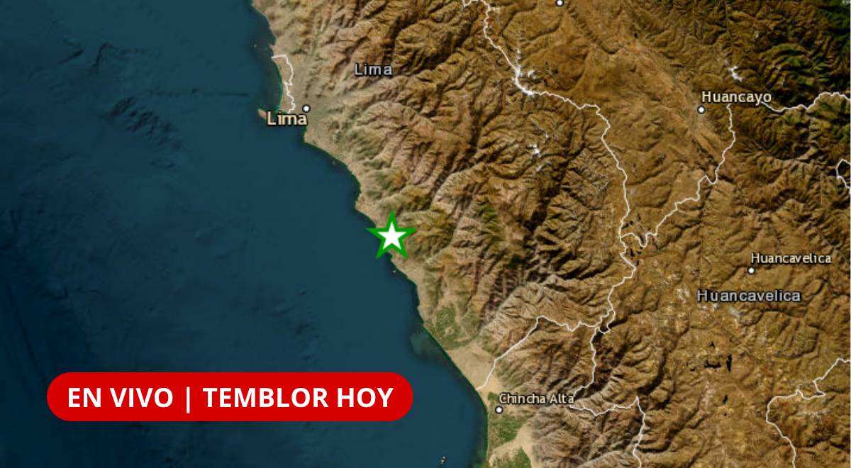
In Peru a magnitude 3.7 tremor hit 10 km north of Mala in Cañete at 01:39 local time with 89 km depth. [3] This was followed by a magnitude 3.4 event 31 km north of Huancabamba in Piura at 16:25 local time with 13 km depth. [3] The Cañete tremor registered intensity II-III according to the report. [3] The Piura tremor also registered intensity II-III according to the report. [3] Peruvian authorities noted that Peru registers seismic movements constantly due to its location in the Pacific Ring of Fire. [3] The first event on the day was recorded by the Centro Sismológico Nacional of the Instituto Geofísico del Perú as IGP/CENSIS/RS 2026-0685. [3] The second event was recorded as IGP/CENSIS/RS 2026-0686. [3] Both events occurred on September 21 with the exact local times and depths listed in the official bulletin. [3] The reference locations place the Cañete event 10 km north of Mala in Cañete - Lima and the Piura event 31 km north of Huancabamba in Huancabamba - Piura. [3]
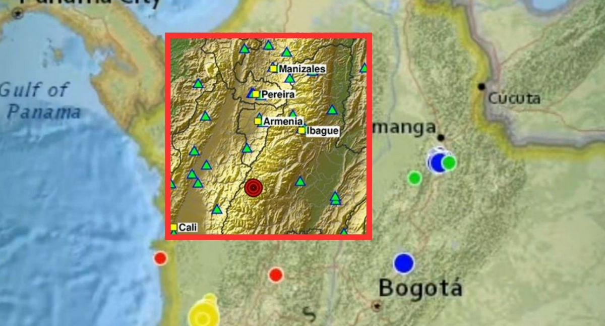
Multiple earthquakes struck regions including Colombia on September 21 2026. — Source: gdelt
Ongoing Swarm in Colombia's Tolima Region
Colombia recorded two shallow tremors in Chaparral, Tolima: a magnitude 3.1 at 19:43 local time and a magnitude 3.0 at 19:55 local time. [4] These form part of over 130 events above magnitude 2.0 recorded in the municipality that day. [4] The first tremor occurred at 7:43 p.m. with magnitude 3.1 and superficial depth in Chaparral, Tolima. [4] The second tremor occurred twelve minutes later at 7:55 p.m. with magnitude 3.0 and superficial depth in the same zone. [4] The Servicio Geológico Colombiano reported that more than 130 earthquakes above magnitude 2.0 had been counted with epicenter in Chaparral up to 3:30 in the afternoon. [4] The pair of events belongs to the seismic activity that drew attention during the day in Chaparral. [4] The Red Sismológica Nacional de Colombia registered both movements. [4] The SGC had previously noted highlighted seismic activity in the municipality since the early hours of September 20. [4] Citizens were reminded they can report felt events through the Sismo Sentido platform. [4]
Emergency Guidance from Peruvian Authorities
Peruvian authorities provided emergency preparedness advice including a list of items for an emergency backpack and national emergency contact numbers. [3] The recommended contents of an emergency backpack include water, non-perishable foods, flashlight, battery-powered radio, first aid kit, medicines, bandages and band-aids, alcohol or disinfectant, blankets, hygiene articles, and specific products for babies, older adults or people with special needs. [3] After a strong movement, authorities advise avoiding approaching damaged structures and staying attentive only to information from official authorities. [3] The national emergency numbers listed are central police: 105, firefighters: 116, Defensa Civil – Emergencies: 115, highway police: 110, Infosalud (medical consultations): 113, COVID-19 information – EsSalud: 107, reports of domestic violence: 100, EsSalud medical care for women victims of violence and their environment: 4.118.000 (option 6), and Peruvian Red Cross: 2.660.481. [3] The IGP maintains monitoring of seismic activity in the national territory through the Centro Sismológico Nacional service. [3]
Humanitarian Impact Mapping in Venezuela
A distribution map produced for Libertador parish covering the period September 5-18 was noted in connection with earthquake-related efforts. [5] The map covers the parish Libertador (VE0101) for the dates from September 5 to September 18. [5] It was produced as part of Venezuela earthquake response documentation by MapAction. [5] The map details who, what, where and when for the specified period in the Libertador area. [5] This provides a record of activities during those two weeks in September. [5]
What to watch next includes continued monitoring by the IGP Centro Sismológico Nacional for new seismic reports in Peru and updates from the Servicio Geológico Colombiano on activity in Chaparral.







