
Magnitude 4.5 Quake Strikes Kermadec Islands as Multiple Earthquakes Today Shake Chile on October 18
Multiple earthquakes today were reported across several regions on October 18, 2026, with monitoring agencies documenting events in Chile, Alaska, the Kermadec Islands, the U.S. Virgin Islands and Peru.
Overview of Global Seismic Activity on October 18, 2026
Multiple earthquakes today occurred on October 18, 2026, including a series of magnitude-3.0 to 3.5 events across Chile, a magnitude-2.5 quake in Alaska, a magnitude-4.5 quake near the Kermadec Islands, a magnitude-2.9 quake in the U.S. Virgin Islands, and ongoing seismic activity monitored in Peru. [1] [2] [3] [4] [5] Chile's Centro Sismológico Nacional reported at least ten earthquakes on October 18, 2026, all between magnitude 3.0 and 3.5. [2] The USGS recorded a magnitude-2.5 earthquake at a depth of 145.4 km located 70 km east of Port Alsworth, Alaska. [3] A magnitude-4.5 earthquake struck at a shallow depth of 10.0 km in the Kermadec Islands, New Zealand, according to the USGS. [4] The USGS also reported a magnitude-2.9 earthquake at 18.5 km depth, 61 km east of Cruz Bay in the U.S. Virgin Islands. [5] Peru's Instituto Geofísico del Perú issued live updates on tremors. [1]
Earthquakes Today Reported in Chile
Chile's Centro Sismológico Nacional reported at least ten earthquakes on October 18, 2026, all between magnitude 3.0 and 3.5, at depths ranging from 23 km to 250 km in locations such as near Lebu, Mina La Escondida, Mina Collahuasi, San Pedro de Atacama, Canela Baja, Huasco, Socaire, Cobquecura and Arica. [2] These included a 3.0 magnitude event at 12:30 hours 65 km southwest of Lebu at 39 km depth, a 3.0 magnitude event at 11:59 hours 53 km northeast of Mina La Escondida at 100 km depth, a 3.0 magnitude event at 09:59 hours 26 km west of Mina Collahuasi at 98 km depth, a 3.0 magnitude event at 09:24 hours 142 km east of San Pedro de Atacama at 250 km depth, a 3.1 magnitude event at 09:09 hours 17 km west of Canela Baja at 32 km depth, a 3.0 magnitude event at 08:22 hours 34 km southwest of Huasco at 28 km depth, a 3.5 magnitude event at 07:57 hours 56 km east of Socaire at 239 km depth, a 3.4 magnitude event at 04:36 hours 32 km west of Cobquecura at 23 km depth, a 3.3 magnitude event at 04:25 hours 71 km west of Arica at 32 km depth, and a 3.0 magnitude event at 01:21 hours 54 km southeast of Socaire at 226 km depth. [2] Chile sits at the boundary of the Nazca and South American tectonic plates, whose movements produce vibrations in the Earth's crust. [2]
{IMAGE_2}
Seismic Events in the United States and Territories
The USGS recorded a magnitude-2.5 earthquake at a depth of 145.4 km located 70 km east of Port Alsworth, Alaska. [3] A magnitude-4.5 earthquake struck at a shallow depth of 10.0 km in the Kermadec Islands, New Zealand, according to the USGS. [4] The USGS also reported a magnitude-2.9 earthquake at 18.5 km depth, 61 km east of Cruz Bay in the U.S. Virgin Islands. [5] These three events were documented separately by the same agency on the same date.
Monitoring and Reporting in Peru
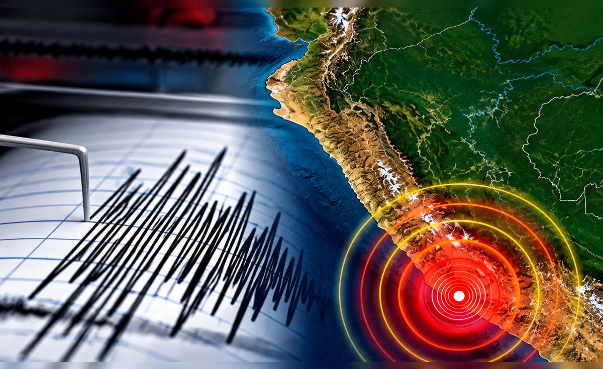
Peru's Instituto Geofísico del Perú issued live updates on tremors, noting that depth, magnitude, epicenter location and time are key data points provided after each event. [1] Depth is one of the parameters used to describe a seismic event, and together with magnitude and epicenter location it allows better understanding of the recorded movement. [1] Reports after a tremor provide characteristics such as the time of the event, magnitude, depth and epicenter location, with data updated as new movements are registered. [1]
Safety Recommendations During Earthquakes
Chilean authorities via Senapred recommend maintaining calm, seeking protection under sturdy objects, cutting utilities, avoiding structures when outdoors, and following specific guidance in crowds or vehicles during significant seismic events. [2] The recommendations include staying calm and finding a seismic protection spot, protecting oneself under a firm element or staying beside it if that is not possible, cutting electrical power and closing water and gas valves, moving away from buildings, poles and electrical cables if on the street, staying in place and protecting the head and neck with the arms during a mass event while following security staff instructions, and reducing speed then stopping after exiting if driving in a tunnel, bridge or highway. [2]
Context on Seismic Zones and Data Parameters
Chile sits at the boundary of the Nazca and South American tectonic plates, whose movements produce vibrations in the Earth's crust. [2] Depth is one of the parameters used to describe a seismic event, and together with magnitude and epicenter location it allows better understanding of the recorded movement. [1] Reports after a tremor provide characteristics such as the time of the event, magnitude, depth and epicenter location, with data updated as new movements are registered. [1]
What to watch next includes continued live updates from Peru's IGP on any new tremors with details on magnitude, epicenter, depth and time, alongside ongoing reports from Chile's Centro Sismológico Nacional on additional events.