
Indonesian Volcanoes Drive Natural Disasters Concerns as Semeru Erupts and Anak Krakatau Grows
Multiple Indonesian volcanoes showed heightened activity in September 2026, including Gunung Semeru’s repeated eruptions reaching 1,300 meters, Anak Krakatau’s land area expanding by 32.8 hectares to 341.5 hectares with two new island-like landforms detected, and a rare blue fire observed at Mount Papandayan, raising concerns over natural disasters in the region. [1] [2] [4]
Overview of Recent Volcanic Activity in Indonesia
Gunung Semeru erupted four times on 27 September 2026 with ash columns up to 1,300 meters. [1] Anak Krakatau’s land area grew from 312.3 hectares in early August to 341.5 hectares by mid-September 2026 due to eruptive deposits. [2] Two new island-like formations appeared northwest and southeast after continuous eruptions from 4-6 September. [3] Anak Krakatau’s alert level was lowered to Level II on 21 September. [3] A purplish-blue to whitish-blue fire was observed in Mount Papandayan’s crater on 23-24 September. [4] Anak Krakatau is in an active reconstruction phase after its 2018 flank collapse. [2] These events occurred concurrently across different islands and straits, with monitoring agencies tracking ash plumes, land growth from pyroclastic deposits, and sulfur gas combustion at separate sites. [1] [2] [4] The activity at Gunung Semeru involved seismic recordings with amplitudes up to 22 mm and durations around 2 minutes 20 seconds during one event. [1] At Anak Krakatau, Sentinel satellite imagery from 15 September confirmed the land expansion beyond its pre-2018 size of over 300 hectares. [2] The blue fire at Mount Papandayan appeared across several crater sections before concentrating into a whitish-blue glow the following day. [4]
Gunung Semeru Eruptions and Safety Measures
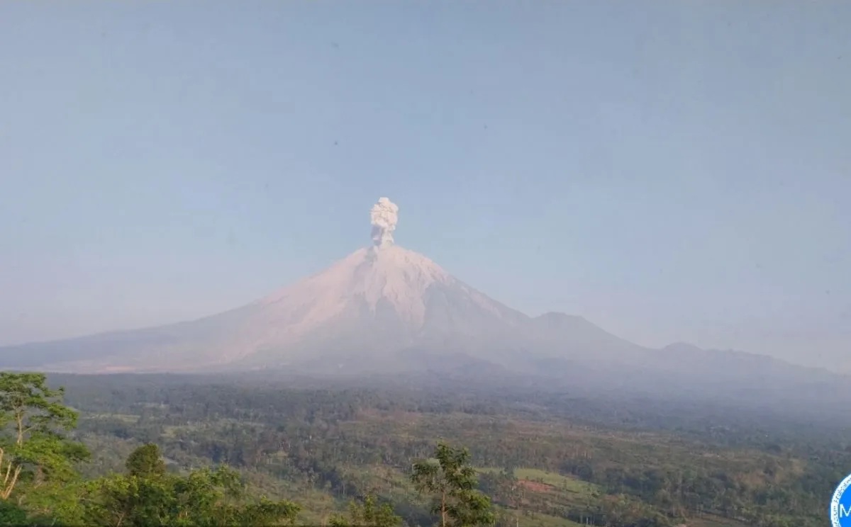
Gunung Semeru erupted four times on 27 September 2026 with ash columns up to 1,300 meters. [1] The first eruption began at 00.21 WIB and the last at 6.22 WIB, producing ash columns between 500 meters and 1,300 meters above the peak. [1] One eruption at 05.55 WIB produced an ash column 1,300 meters above the peak, reaching 4,976 meters above sea level, with white to gray ash drifting northeast at moderate intensity. [1] The event registered on the seismogram with a maximum amplitude of 22 mm and lasted about 2 minutes 20 seconds. [1] Gunung Semeru remained at Level III (Siaga) with an exclusion zone of 13 km along Besuk Kobokan from the peak and 5 km from the crater. [1] Residents were advised against any activity within 500 meters of river edges along Besuk Kobokan due to risks of hot clouds and lahars extending up to 17 km. [1] Additional warnings covered potential incandescent rock ejections, lava avalanches, and lahars along Besuk Bang, Besuk Kembar, Besuk Sat, and smaller tributaries of Besuk Kobokan. [1]
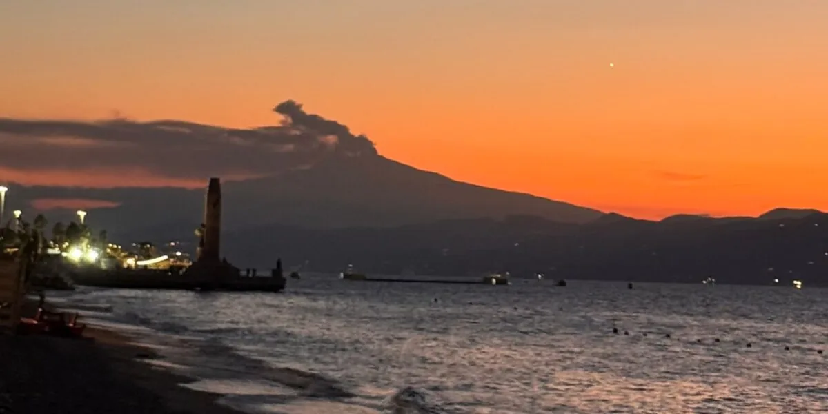
Mount Etna erupts as viewed from Reggio Calabria waterfront. — Source: gdelt
Anak Krakatau Land Expansion and New Formations
Anak Krakatau’s land area grew from 312.3 hectares in early August to 341.5 hectares by mid-September 2026 due to eruptive deposits. [2] The growth added 32.8 hectares in the northwest, west, and southwest sectors from pyroclastic material and lava flows during eruptions on 4-6 September. [3] Two new island-like landforms appeared northwest and southeast of the main body after about 25 hours of continuous eruptions earlier in the month. [3] Preliminary interpretation linked the formations to fluid magma reaching the surface through an opening extending northwest to southeast. [3] The assessment remains preliminary, requiring comparison of satellite imagery before and after the eruptions plus on-site verification. [3] The land area now surpasses the pre-2018 collapse size recorded at over 300 hectares. [2] After the 2018 southwestern flank collapse reduced the area to 246.18 hectares by late December 2018, continuous eruptive activity rebuilt the structure. [2]
Reconstruction Phase and Structural Risks at Anak Krakatau
Anak Krakatau is in an active reconstruction phase after its 2018 flank collapse. [2] The 2018 event displaced roughly 0.116 cubic kilometers of material into the ocean and lowered the summit from 330 meters to 120 meters. [2] Immediate post-collapse eruptions were explosive Surtseyan events caused by seawater entering the crater, later transitioning between 2019 and 2026 to Strombolian lava fountaining and flows that accumulated landmass. [2] The volcano’s regrowth remains structurally asymmetrical, with the southwestern flank building over a steep underwater caldera slope and the northeastern side on a shallower seabed. [2] Dense lava layers continue to pile atop light, porous ash deposits on uneven slopes, posing risks for long-term slope stability according to joint research by Indonesia's National Research and Innovation Agency and international partners including the University of Birmingham, Institut Teknologi Bandung, Penn State University, the British Geological Survey, and the University of Oxford. [2] Activity returned to a Strombolian pattern with short durations by 17 September 2026. [5]
Blue Fire Phenomenon at Mount Papandayan
A purplish-blue to whitish-blue fire was observed in Mount Papandayan’s crater on 23-24 September. [4] Visual observations on 23 September recorded purplish-blue flames glowing across several sections of the crater. [4] By 24 September the fires diminished into a more concentrated whitish-blue glow. [4] Experts attribute the display to the natural combustion of sulfur gases escaping through solfatara vents, a process previously documented near the volcano's newer crater area. [4] Monitoring since 2025 shows the vent of the nearby Manuk Crater has gradually narrowed alongside a drop in surface smoke density, suggesting hot gases may be rerouting through adjacent rock fractures or crater walls, though any link remains unconfirmed pending further analysis. [4] Mount Papandayan remained at Level I (Normal) with a 500-meter exclusion zone advised around the active crater rim. [4] A Geological Agency team conducted a field inspection to analyze the phenomenon and potential hazards. [4]
Current Alert Levels and Public Recommendations
Gunung Semeru remained at Level III (Siaga) with the 13 km exclusion zone along Besuk Kobokan and 5 km crater radius. [1] Anak Krakatau’s alert level was lowered to Level II on 21 September, requiring a 2 km exclusion zone from the eruption center and 1 km from the new formations. [3] Mount Papandayan stayed at Level I (Normal) with the 500-meter exclusion zone. [4] Public recommendations urged residents and visitors to avoid all activity in the specified zones at each volcano and to watch for potential hot clouds, lava flows, and lahars at Gunung Semeru. [1] [3] [4] Authorities called for calm while maintaining distances from Anak Krakatau’s new landforms and Mount Papandayan’s crater. [3] [4] The asymmetrical growth at Anak Krakatau continues to raise slope stability concerns during its reconstruction phase. [2]
What to watch next includes further satellite comparisons and on-site verification of the two new landforms near Anak Krakatau to confirm their nature, alongside ongoing monitoring of vent changes at Mount Papandayan and seismic patterns at Gunung Semeru.