Indonesian Officials Lower Anak Krakatau Alert Level Amid Ongoing Natural Disasters While Maintaining Two-Kilometer Exclusion Zone
Indonesian authorities lowered the alert level of Mount Anak Krakatau from Level III to Level II on September 21 while maintaining a two-kilometer exclusion zone due to risks of incandescent rock ejections and heavy ashfall, as scientists continue to monitor Yellowstone supervolcano scenarios that could cause up to one billion premature deaths globally and Guatemala's Santiaguito volcano sustains ongoing ash emissions amid ongoing natural disasters. [2] [3] The decision reflects declining volcanic activity at Anak Krakatau, yet officials emphasize that natural disasters of this type require continued vigilance to protect nearby populations.
Anak Krakatau Alert Level Lowered in Indonesia
The Geological Agency of the Ministry of Energy and Mineral Resources lowered the activity level of Mount Anak Krakatau in the Sunda Strait from Level III (Alert) to Level II (Warning) on September 21. [3] This downgrade came after comprehensive analysis showed declining seismicity and deformation data indicating deflation. [3] The volcano had been raised to Level III on July 2, 2026, following increased seismicity and deformation, during which it recorded 224 eruptions through September 3, 2026. [3] A continuous eruption event lasting about 25 hours occurred from September 4 to 6, 2026, producing lava flows toward the northwest, west, and southwest. [2] [3] After that period and seven additional Strombolian eruptions, activity trended downward through September 20, 2026. [3] The reduction in status aligns with broader monitoring of natural disasters that can escalate rapidly if left unchecked.
Ongoing Hazards and Official Guidance at Anak Krakatau Amid Natural Disasters
A two-kilometer radius prohibition remains in place around Anak Krakatau's crater due to hazards including incandescent rock ejections and heavy ashfall. [2] [3] Coastal residents in Banten and Lampung were told to ignore tsunami rumors and remain calm while continuing daily activities under guidance from local disaster agencies. [2] [3] Experts noted that the status reduction does not invite visits to the crater, as approaching the center of activity still poses dangers from potential ejections of hot rocks and intense ashfall. [2] The public received instructions to follow recommendations from the Regional Agency for Disaster Countermeasures and avoid any activities within the restricted zone. [3] These measures address the persistent risks associated with natural disasters in the region, where even reduced activity levels can produce sudden hazards.

Indonesian officials lower Mount Anak Krakatau alert level from III to II while keeping two-kilometer exclusion zone. — Source: antaranews
Potential Global Impact of a Yellowstone Supervolcano Eruption
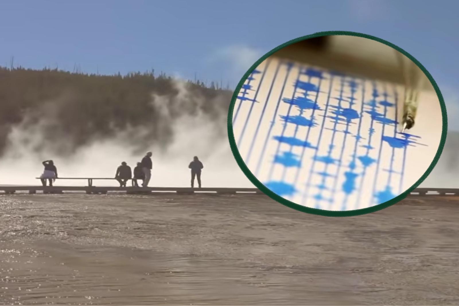
Researchers estimate a Yellowstone supervolcano eruption could lead to nearly one billion premature deaths worldwide through infrastructure collapse, health system failures, and long-term crop destruction from ash blocking sunlight. [1] [4] Such an event would not affect most U.S. states immediately but would unfold over weeks and months, leading to shutdowns of health departments and hospitals along with regional collapses in infrastructure, transit, trade, and travel. [1] [4] America's food supply would face severe disruption months later due to lack of sunlight and destruction of crops from millions of pounds of ash, rock, and debris. [1] [4] The United States would not be the only country impacted, as repercussions would extend globally from the scale of ash dispersal and atmospheric effects. [1] [4] These projections represent worst-case scenarios developed periodically by scientists studying catastrophic natural disasters.
Santiaguito Ash Emissions Continue in Guatemala
Santiaguito volcano in Guatemala continued constant gas and ash emissions on September 22, with weak to moderate explosions sending columns up to 800 meters high dispersing west and southwest, unaffected by a concurrent magnitude 5.2 earthquake. [5] The volcano maintained its characteristic Pelean-type activity with constant degassing over the Caliente dome, producing a column reaching about 400 meters that dispersed westward and southwestward. [5] Incandescence was observed in the dome and on its west and southwest flanks, along with avalanches descending those slopes. [5] Weak to moderate lahars could form in rivers such as the Nimá I, Tambor, and Cabello de Ángel due to activity around the volcanic perimeter. [5] The magnitude 5.2 earthquake centered in Escuintla at a depth of 68 kilometers caused camera images to shake but produced no sudden or extraordinary change in the volcano's behavior, which continued with its usual emissions afterward. [5] Ash continued moving westward according to aviation advisories issued that day. [5]
Historical and Monitoring Context for Yellowstone
Yellowstone's ground has been swelling annually and its last major eruption occurred over 70,000 years ago according to USGS data referenced in reports. [1] [4] The supervolcano lies beneath territory spanning Montana, Wyoming, and Idaho, remaining invisible to most park visitors despite visible thermal features like bubbling acid pools. [1] [4] Scientists develop updated worst-case scenarios every few years, with each iteration painting increasingly severe pictures of potential outcomes from such natural disasters. [1] [4] Ground swelling has continued for the past several years, providing ongoing data for monitoring efforts that track deformation and seismic patterns beneath the park. [1] [4] These observations help inform periodic projections about the timing and scale of future activity at the site.
What to watch next includes continued monitoring of declining trends at Anak Krakatau, sustained ash emissions from Santiaguito, and updated worst-case modeling for Yellowstone based on annual ground swelling data.