
Hurricane Tracker Shows Severe Thunderstorms and Flash Flooding Hit Texas and Oklahoma
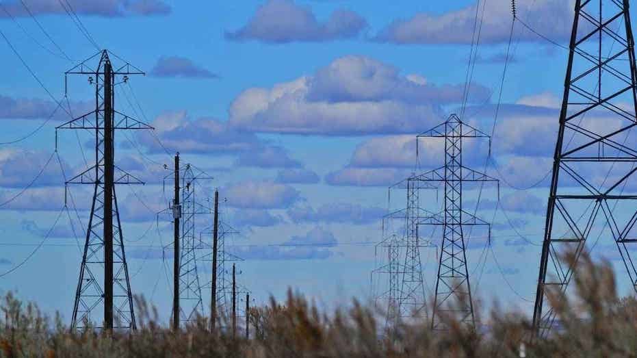
Hurricane tracker reports show the National Weather Service has issued multiple severe thunderstorm warnings and a flash flood warning across parts of Texas and Oklahoma as severe weather moves through the region, while the Trump administration issued an emergency order to prevent blackouts in 13 states amid unseasonably warm October temperatures straining the electrical grid.
Active Severe Weather Warnings
The National Weather Service in Amarillo has issued a Flash Flood Warning for northeastern Collingsworth County in the Texas Panhandle until 1:45 a.m. CDT. [1] At 10:47 p.m. CDT, Doppler radar indicated thunderstorms producing heavy rain across the warned area. [1] Between 1 and 3 inches of rain have fallen, with flash flooding ongoing or expected to begin shortly. [1] The National Weather Service in Midland has issued a Severe Thunderstorm Warning for northwestern Brewster County in southwestern Texas until 11:30 p.m. CDT. [2] At 10:32 p.m. CDT, severe thunderstorms were located along a line extending from 14 miles southwest of Marathon to 13 miles west of Persimmon Gap, moving northeast at 20 mph. [2] The National Weather Service in Norman has issued a Severe Thunderstorm Warning for Oklahoma County, northern Cleveland County and northwestern McClain County in central Oklahoma until 11:00 p.m. CDT. [5] At 10:15 p.m. CDT, severe thunderstorms were located along a line extending from 5 miles east of El Reno to near Tuttle to near Amber, moving northeast at 60 mph. [5]
Details on Flash Flooding in Texas Panhandle
The Flash Flood Warning remains in effect until 1:45 a.m. CDT for northeastern Collingsworth County in the Texas Panhandle. [1] Doppler radar indicated thunderstorms producing heavy rain across the warned area, with between 1 and 3 inches of rain already fallen. [1] Flash flooding is ongoing or expected to begin shortly, according to radar indications. [1] The hazard involves flash flooding caused by thunderstorms, with impacts including flooding of small creeks. [1]
Severe Thunderstorm Threats in Brewster County
A Severe Thunderstorm Warning covers northwestern Brewster County in southwestern Texas until 11:30 p.m. CDT. [2] Severe thunderstorms were located along a line extending from 14 miles southwest of Marathon to 13 miles west of Persimmon Gap, moving northeast at 20 mph. [2] Hazards include golf ball size hail and 70 mph wind gusts. [2] People and animals outdoors will be injured, with expectations of hail damage to vehicles and roofs as well as tree and power line damage. [2]
Oklahoma Thunderstorm Warning
A Severe Thunderstorm Warning is active until 11:00 p.m. CDT for Oklahoma County, northern Cleveland County and northwestern McClain County in central Oklahoma. [5] Severe thunderstorms were located along a line extending from 5 miles east of El Reno to near Tuttle to near Amber, moving northeast at 60 mph. [5] The hazard centers on 60 mph wind gusts, with expectations of damage to roofs, siding and trees as well as power line damage. [5]
Emergency Power Order for 13 States
The Department of Energy issued an emergency order under Section 202(c) of the Federal Power Act allowing PJM Interconnection to use additional power generation resources through Oct. 16 to avoid blackouts across 13 states and Washington, D.C., serving more than 60 million people. [3] The Trump administration has issued the emergency order aimed at preventing potential blackouts across 13 states as unseasonably warm October temperatures strain the electrical grid. [3] The order takes effect Tuesday and remains in place through Friday, Oct. 16. [3] Unusually warm fall weather prompted the Department of Energy to issue an emergency order Tuesday aimed at preventing power disruptions across 13 states and the District of Columbia. [4]
Grid Reliability Concerns
Unusually warm October temperatures in the 70s and 80s are increasing electricity demand while power plants and transmission facilities are undergoing scheduled maintenance. [3] PJM Interconnection told Fox News Digital it does not expect the emergency conditions to affect everyday customers but warned that rising electricity demand and unpredictable weather patterns are creating new challenges for grid reliability. [3] Electricity demand is growing faster than new generating capacity can come online, while unpredictable weather is leaving fewer opportunities for critical maintenance and construction. [3] Planned maintenance periods now present reliability risks that grid operators previously faced primarily during summer and winter. [3] Energy Secretary Chris Wright said the order will help ensure millions of American families and businesses across the mid-Atlantic have access to affordable, reliable and secure electricity by making additional power generation, including backup power, available to use as needed. [3]
What to watch next: The Flash Flood Warning continues until 1:45 a.m. CDT in northeastern Collingsworth County, while the Severe Thunderstorm Warnings remain active until 11:30 p.m. CDT in northwestern Brewster County and until 11:00 p.m. CDT in central Oklahoma counties, and the emergency order allowing additional power generation resources stays in place through Oct. 16.