

Hurricane Tracker Shows Polo Making Landfall in Baja California Sur With 110 mph Winds
Hurricane tracker observations confirm that Hurricane Polo made landfall on Mexico’s Baja California Sur as a Category 2 storm, bringing life-threatening winds, heavy rainfall and flooding risks while its remnants are forecast to fuel excessive rainfall and flash flooding across parts of the southwestern United States, amid a broader pattern of severe weather influenced by a super El Niño.
Hurricane Polo Strikes Mexico’s Pacific Coast
Hurricane Polo made landfall south of Las Barrancas in Baja California Sur with sustained winds of 110 mph (175 km/h) and gusts up to 125 mph (200 km/h), producing waves 7 to 9 meters high. [4] Mexican officials said Polo moved ashore just south of the surfing and fishing village of Las Barrancas bringing maximum sustained winds of 110 mph (175 km/h). [5] Mexico's National Weather Service said it had brought sustained winds of 150 to 170 km/h with gusts of 180 to 200 km/h and waves 7 to 9 meters high. [4] The storm was expected to dump 6 to 12 inches (15 to 30 cm) of rain across Baja California Sur, with a risk of life-threatening flooding and mudslides, according to the US National Hurricane Center. [4] Meteorologists said Polo could dump between 6 and 12 inches (150-300mm) of rain across parts of Baja California Sur, which they warned could produce life-threatening flooding and mudslides, especially in areas of steep terrain. [5] The NHC said a storm surge was also expected to produce significant coastal flooding in areas of onshore winds. [5] Authorities expected life-threatening hurricane conditions to continue across Baja California Sur for several hours. [4] Even before Polo made landfall, residents said there were power cuts in Baja California Sur. [5] US media reported some flooding in the fishing town of Puerto San Carlos and the Associated Press said waves crested sea barriers in the area, where many residents had been evacuated due to the threat. [5] A whale-watching and fishing guide who was boarding up the facade of his home told AFP the storm was "coming with full force". [5]
Forecast Path and Second Landfall
Polo is forecast to weaken but remain at hurricane strength for a second landfall over southern Sonora in mainland Mexico, with residents urged to shelter indoors. [5] Polo is moving northeast and on the forecast track, its core is predicted to continue passing over Baja California Sur before moving inland over the southern part of the Mexican state of Sonora later on Tuesday. [5] The NHC said that while Polo was expected to weaken as it moved over the Baja California peninsula, it was forecast to still be at hurricane strength when it makes its second landfall in mainland Mexico. [5] Weather conditions were expected to deteriorate in the south of the mainland state of Sonora. [4] Both Mexican authorities and the NHC urged residents to remain safe indoors through the morning, either at their homes or in temporary shelters opened up in high-risk areas. [4] Residents of the towns in Polo's path packed supermarkets over the weekend to buy essential products while business owners boarded up doors and windows in anticipation of the storm. [4] Shopkeeper María Palomino, 57, spent the night at a high school which has been turned into a temporary shelter. [5] "If something happens, it's better to come to the shelter," she told AFP news agency. [5]
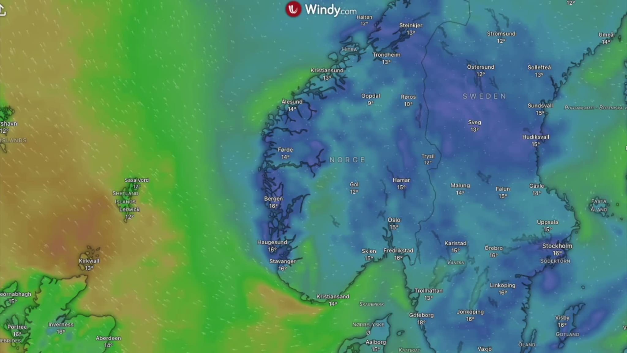
Yellow wind warning issued as Hurricane Polo makes landfall in Baja California Sur. — Source: vg
Tropical Moisture Reaches the Southwestern United States
Remnants of Polo, combined with another system from Hurricane Odalys, are sending tropical moisture northward, causing excessive rainfall, flash flooding and warnings in Arizona, with 1.5 to 2.5 inches already recorded in Gila County and up to 1.2 inches in parts of Cochise and Graham counties. [1] [2] [5] Flood Warning remains in effect for Gila County in east central Arizona and Navajo County in north central Arizona until 1115 PM MST Tuesday. [1] At 243 PM MST, Doppler radar indicated an area of very heavy rainfall across the warned area with between 1.5 and 2.5 inches of rain having fallen. [1] Flash Flood Warning has been issued for Northwestern Cochise County in southeastern Arizona and South Central Graham County in southeastern Arizona until 845 PM MST Tuesday. [2] At 238 PM MST, Doppler radar indicated thunderstorms producing heavy rain across the warned area with between 0.5 and 1.2 inches of rain having fallen and additional rainfall amounts up to 1 inch possible. [2] As Polo moves north-east, it is expected to also affect the US, sending a surge of tropical moisture northwards for the next few days leading to excessive rainfall and flash flooding. [5] Rain has already been falling across Arizona and California but the remains of Polo and another hurricane named Odalys will become absorbed into that weather system, boosting the amount of rainfall. [5] These fronts will push eastwards across the southern plains with some spots potentially seeing as much as 6 or 7 inches of rainfall by Thursday. [5] States affected include Arizona, New Mexico, Colorado and Utah into Tuesday. [5]
Role of Super El Niño in the Active Season
The active Pacific hurricane season and current severe weather are being fuelled by extremely warm waters linked to a super El Niño pattern that researchers warn could lead to global droughts, flooding and an estimated additional 451,000 annual heat-related deaths. [3] [5] Meteorologists said it was being fuelled by extremely warm waters caused by the El Niño climate phenomenon, which has led to a more active hurricane season in Pacific waters. [5] Emergency management officials around the globe are on high alert for this year’s super El Niño amid fears of savage droughts, severe flooding and a staggering estimate of an additional 451,000 annual deaths related to heat. [3] Researchers at Chicago’s Climate Impact Lab estimate the climate pattern could result in 451,000 additional annual heat-related deaths. [3]
Preparation and Ongoing Hazards
Residents in threatened areas have been encouraged to seek shelter. [5] Residents of the towns in Polo's path packed supermarkets over the weekend to buy essential products while business owners boarded up doors and windows in anticipation of the storm. [4] In Cabo San Lucas, famous for its natural rock arch, authorities had restricted access to the beaches on Monday. [5] Dangerous surf and rip currents were likely to continue along portions of the north-western coast of Mexico and Baja California for the next day or so. [5] The south of the peninsula is popular with tourists and acts as a base for surfers, sport fishers, and whale watchers. [5]
What to watch next: Remnants of Polo combined with Odalys are expected to boost rainfall across Arizona, New Mexico, Colorado and Utah with some spots potentially seeing as much as 6 or 7 inches by Thursday while the super El Niño pattern continues to influence global severe weather risks.





/file/attachments/2998/14313932_951231.jpg)
