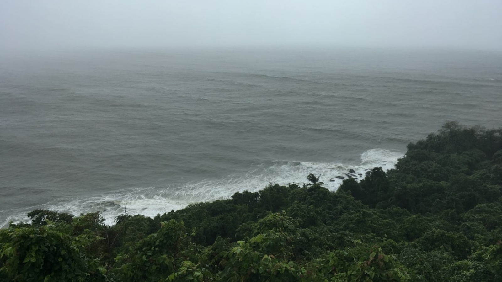

Hurricane Tracker Shows Nor'easter Flood Warnings From Outer Banks to Long Island
The hurricane tracker is monitoring a severe Nor'easter that is bringing strong winds, heavy rainfall, and coastal flooding to the East Coast from New Jersey through New England, with peak impacts expected Friday afternoon through Saturday, while separate tropical storm and hurricane watches are in effect for Hawaiian waters and flood warnings have been issued in Florida and New Mexico. [3]
Nor'easter Brings Coastal Flooding to East Coast
A severe Nor'easter is impacting New Jersey and Delaware coasts with strong winds and tidal flooding. [3] The Nor'easter has prompted coastal flood warnings from the Outer Banks through the eastern tip of Long Island, including Virginia Beach, Dover, Atlantic City, and Manhattan, with coastal flood watches for much of coastal Massachusetts including Boston. [3] Coastal flood warnings have been issued for the region spanning from the Outer Banks through the eastern tip of Long Island, encompassing Virginia Beach, Dover, Atlantic City, and Manhattan. [3] Additionally, coastal flood watches are in effect for substantial portions of coastal Massachusetts, including the Boston area. [3] The most severe coastal flooding is anticipated to occur along the northern Outer Banks of North Carolina extending to the southern New Jersey coastline, encompassing the Virginia Tidewater region, as well as the Chesapeake Bay and Delaware Bay areas. [3] Atlantic City officials warn of severe weather effects from the Nor'easter, with peak impacts anticipated Friday afternoon, including flooding and strong winds as residents prepare for potential storm consequences. [3] In the offshore waters adjacent to New Jersey, wind velocities reached approximately 40 miles per hour during Wednesday, while ambient temperatures remained relatively low. [3]
Forecast Timeline for New Jersey, New York, and New England
Peak impacts including flooding between 5:30 p.m. and 9 p.m. Friday and strong winds are forecast for Atlantic City and the Jersey Shore, with the storm expected to bring heavy rainfall and gusty winds across southeast New England on Friday and much of coastal and southern New England on Saturday. [3] Atlantic City Fire Department Chief Scott K. Evans said that although the city was starting to experience some effects from the Nor'easter on Thursday, the most severe portion of the storm had not yet reached the Jersey Shore. [3] According to Evans, the primary impact is expected to occur Friday afternoon through Saturday. [3] Evans cautioned that Atlantic City residents should anticipate flooding between 5:30 p.m. and 9 p.m. on Friday as the stormfront arrives. [3] Residents of New York City and Boston should remain vigilant regarding weather conditions throughout the weekend and implement preparedness measures equivalent to those recommended for tropical storm events. [3] On Thursday afternoon, city administrators in Atlantic City, New Jersey, delivered an update regarding the situation and the anticipated effects of the Nor'easter on the region. [3] During the day, the sound of wind could be heard rushing past the windows of City Hall in Atlantic City as Mayor Marty Small spoke to a gathering of media representatives and photographers about the city's efforts to address the storm's consequences. [3] "As you see, currently it is very, very windy and that should pick up over the weekend," said Small. [3] A First Alert notification was initiated in the early hours of Wednesday and has been prolonged through Saturday evening owing to the anticipated risk of coastal inundation, severe wind conditions, and beach degradation that may result from this atmospheric system. [3]
{IMAGE_2}
Tropical Storm and Hurricane Watches Issued for Hawaii
Tropical Storm Warning and Hurricane Watch are both in effect for the Alenuihaha Channel, Big Island Windward Waters, Big Island Leeward Waters and Big Island Southeast Waters through Saturday afternoon, with east winds of 35 to 45 knots and seas of 15 to 20 feet that will cause hazardous conditions likely to capsize or damage vessels and reduce visibility. [1] [2] East winds 35 to 45 knots and seas 15 to 20 feet are expected through Saturday afternoon in those waters. [1] [2] Extremely strong winds will cause hazardous seas which will likely capsize or damage vessels and severely reduce visibility. [1] [2] The hurricane tracker continues to follow these conditions across the specified Hawaiian channels and waters. [1]
River Flooding in Florida and New Mexico
Minor flooding is occurring and forecast to continue along the St. Johns River near Astor in Lake and Volusia counties, Florida, with the river forecast to crest on Sunday due to northerly winds and tidal effects. [4] The St Johns River at Astor remains within Minor Flood Stage and is forecast to continue to rise, cresting on Sunday due to an ongoing period of northerly winds and tidal effects. [4] River levels are forecast to remain steady thereafter. [4] For the St. Johns River including Astor, minor flooding is forecast. [4] Moderate flooding approaching the flood of record is forecast for the Pecos River near Lake Arthur in Chaves County, New Mexico, due to heavy rains north and east of the area. [5] Heavy rains North and East of Lake Arthur will result in significant and dangerous rises in the river throughout today and tomorrow. [5] The National Weather Service in Albuquerque has issued a Flood Warning for the Pecos River near Lake Arthur affecting Chaves County. [5]
Preparation Guidance for Affected Regions
Residents of New York City and Boston should remain vigilant regarding weather conditions throughout the weekend and implement preparedness measures equivalent to those recommended for tropical storm events. [3] Atlantic City residents should anticipate flooding between 5:30 p.m. and 9 p.m. on Friday as the stormfront arrives. [3] The most severe portion of the storm had not yet reached the Jersey Shore as of Thursday. [3]
What to watch next: Peak impacts including flooding between 5:30 p.m. and 9 p.m. Friday and strong winds are forecast for Atlantic City and the Jersey Shore, with the storm expected to bring heavy rainfall and gusty winds across southeast New England on Friday and much of coastal and southern New England on Saturday, while the Tropical Storm Warning and Hurricane Watch remain in effect through Saturday afternoon for Hawaiian waters. [3] [1]