
Colombia Reports Three Earthquakes on September 6 as Puracé Stays on Orange Alert
Multiple earthquakes struck various global locations in recent days, including a magnitude 4.1 temblor near Colombia's Puracé volcano and smaller events in the United States, with ongoing seismic activity prompting safety warnings in affected areas where people search for earthquakes near me updates. [2] A magnitude 4.1 earthquake occurred at 8:58 p.m. local time on September 6 near Totoró in Colombia's Cauca department, at shallow depth within the area of influence of Puracé volcano, 14 km from Totoró, 19 km from Puracé and 23 km from Silvia. [2]
Recent Earthquake in Colombia Near Puracé Volcano
A magnitude 4.1 earthquake occurred at 8:58 p.m. local time on September 6 near Totoró in Colombia's Cauca department, at shallow depth within the area of influence of Puracé volcano, 14 km from Totoró, 19 km from Puracé and 23 km from Silvia. [2] The Colombian Geological Service verified the report manually after the initial recording. [2] The event registered at coordinates 2.40° latitude and -76.34° longitude. [2] This shallow depth characteristic can make the temblor perceptible with greater intensity in populations near the epicenter. [2] The Colombian Geological Service confirmed the location placed the quake inside the area of influence of Puracé volcano. [2]
Ongoing Activity and Orange Alert at Puracé
The Colombian Geological Service reported continued seismic activity at Puracé volcano, including fluid movement signals less than 1 km deep, rock fracturing earthquakes up to magnitude 2.7, ground deformation, ash emissions up to 200 meters, and elevated SO₂ and CO₂ levels, keeping the volcano at orange alert level. [2] Signals related to fluid movement predominate under the crater at depths less than one kilometer. [2] Earthquakes associated with rock fracturing concentrate mainly to the northeast of the volcano with a maximum magnitude of 2.7. [2] Slow deformation of the terrain continues between the Puracé, Piocollo and Curiquinga volcanoes. [2] In recent hours the volcano showed an ash emission reaching up to 200 meters in height that moved toward the northwest. [2] Monitoring confirmed continued emissions of sulfur dioxide while high concentrations of carbon dioxide persist in the soil. [2] Satellite images show no thermal anomalies in the crater. [2] The Colombian Geological Service reiterated that Puracé remains at orange alert because monitoring indicators stay at the highest levels of recent weeks and exceed usual values widely. [2] The entity recommended not approaching the craters of Puracé, Piocollo and Curiquinga nor the headwaters of rivers born in that zone due to the risk of sudden gas emissions, ash, rock fragments and possible mud flows. [2]
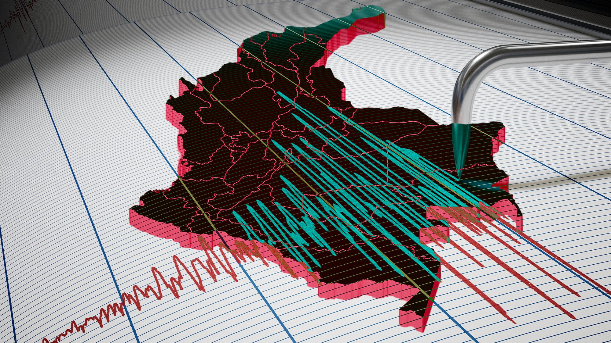
A magnitude 4.1 earthquake struck near Totoró in Colombia's Cauca department on September 6. — Source: gdelt
Additional Tremors Across Colombia
Two additional tremors struck Colombia on September 6: a magnitude 3.7 at 38 km depth near Medio San Juan in Chocó at 5:15 p.m., and a magnitude 3.4 at 147 km depth near Los Santos in Santander at 3:51 p.m. [3] The magnitude 3.7 event registered at 5:15 p.m. in the department of Chocó at a depth of 38 kilometers with its epicenter in the municipality of Medio San Juan (Andagoya) at coordinates 4.59° latitude and -76.73° longitude. [3] The Colombian Geological Service indicated the event was located manually and the closest municipalities were Sipí at 12 kilometers, Nóvita at 43 kilometers, and El Dovio in Valle del Cauca at 56 kilometers. [3] Authorities have not reported damage from this movement. [3] This quake occurred a few hours after another registered at 3:51 p.m. in Los Santos, Santander. [3] That event reached a magnitude of 3.4, had a depth of 147 kilometers and was also classified as manually located. [3] Its epicenter lay 10 kilometers from Los Santos and near the municipalities of Jordán at 13 kilometers and Zapatoca at 15 kilometers. [3] Although both tremors occurred on the same day they appeared in different regions with different characteristics especially in depth since the one in Santander was considerably deeper than the one in Chocó. [3]
Smaller Quakes Recorded in the United States
The USGS recorded a magnitude 2.5 earthquake at 1.0 km depth located 56 km NE of Kelly, Wyoming, and a magnitude 2.8 earthquake at 123.1 km depth located 61 km N of Petersville, Alaska. [1] [4] The magnitude 2.5 event occurred at a depth of 1.0 kilometer 56 kilometers northeast of Kelly, Wyoming. [1] The magnitude 2.8 event occurred at a depth of 123.1 kilometers 61 kilometers north of Petersville, Alaska. [4]
Egypt Reviews Building Resilience After Recent Shake
In Egypt, a recent earthquake has renewed questions about building safety and compliance with the national seismic code, especially for older structures and those with construction violations, following the 1992 quake that prompted the code's creation. [5] The shake felt by millions of Egyptians on the morning of Monday, August 3, lasted only seconds yet proved sufficient to reopen the recurring question of whether buildings can withstand a stronger tremor if Egypt faces one. [5] The event reopened the file on building safety and the readiness of real estate wealth in Egypt to confront seismic risks especially given millions of residential units differing in age, construction methods and compliance with modern engineering codes. [5] Between modern towers built according to technical requirements, old properties that preceded code application and others that received modifications or construction violations questions arise about the adequacy of the current construction and oversight system. [5] After the 1992 earthquake that claimed more than 560 lives and destroyed 129,000 buildings the Egyptian government recognized that random construction was a direct cause of increased losses. [5] The National Center for Housing and Building Research in cooperation with the Astronomical Research Institute issued a new earthquake code in 2012 and generalized it to all urban projects across Egyptian governorates. [5] The earthquake code consists of a set of technical standards that determine the strength of possible vibrations in each geographic area, the type of materials used, the thickness of columns and walls, methods of connecting floors in addition to precise standards for material selection, structural design and securing historic buildings. [5] The code applies in three cases: new buildings, expansions and change of use of existing buildings. [5] According to the latest census prepared by the Cairo Governorate and delivered to the House of Representatives there are about 4,700 buildings and facilities at risk of collapse inside the capital, 24,000 in Alexandria and 21,000 in Gharbia Governorate. [5] The last published census from the Central Agency for Public Mobilization and Statistics dates to 2017 and recorded 97,535 properties at risk of collapse nationwide for which no action was taken. [5] Engineer Tarek El-Nabarawy, former head of the Engineers Syndicate, stated that Egypt applies a special earthquake code to construction works and that this code was established after the 1992 earthquake with compliance becoming a basic condition in licensed facilities. [5] All new facilities that obtain licenses must match the requirements and the applicable code. [5] The engineering codes in force in Egypt are very modern and compatible with engineering requirements. [5] Challenges include problems in local administrations and contractors not following required conditions as well as construction outside urban boundaries that lacks engineering supervision. [5] Statistics from the Ministry of Local Development on violating buildings from 2000 to 2017 showed 2,878,808 violating buildings in Egypt with 2,644,222 removal decisions issued. [5] Violations included 1,764,838 cases of building without license, 396,087 cases of extra floors, 114,921 cases of violating license conditions and 45,313 cases of violating the regulatory line. [5] Dr. Hassan Ghatas, professor of structural engineering at Port Said University, affirmed that commitment to the Egyptian code for earthquake resistance is fundamental to ensuring facility safety yet implementation remains a decisive factor because any errors during execution can affect building safety. [5] Buildings designed and executed according to the code are not supposed to collapse due to construction errors. [5] The code settles the standards for structural design while the greatest risks may lie in old buildings erected before commitment to current standards. [5] Old buildings or properties that witnessed construction violations or addition of new floors require a structural safety study to confirm their ability to bear loads. [5] The code has been updated periodically with review every five years after initially occurring every ten years. [5]
Official Monitoring and Public Reporting Channels
The Colombian Geological Service and USGS maintain continuous monitoring with manual verification of events. [2] [3] The Colombian Geological Service maintains permanent vigilance over seismic activity throughout the national territory and invited citizens to consult only its official channels for updated information. [3] Those who felt any of these movements can report them through the Sismo Sentido tool available on official platforms. [3]
What to watch next includes continued monitoring by the Colombian Geological Service of fluid movement signals, rock fracturing earthquakes and gas emissions at Puracé volcano along with USGS tracking of seismic events in Wyoming and Alaska.