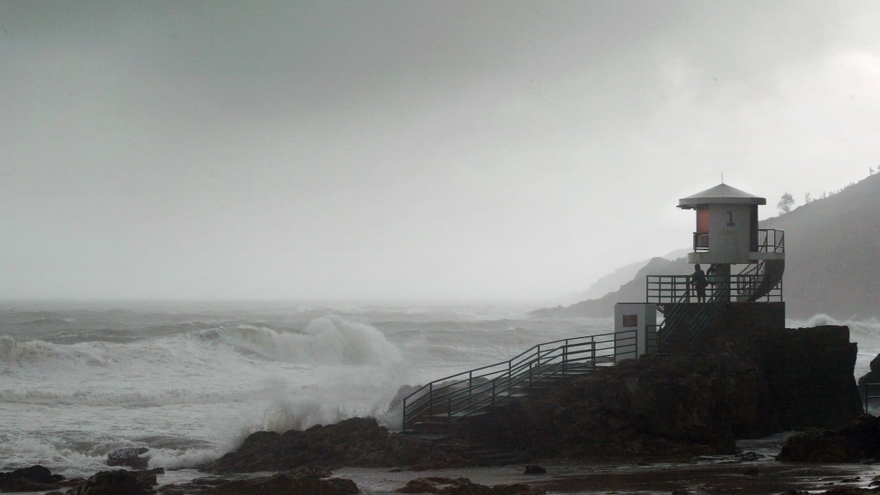
United States Severe Weather Triggers Flood Warnings Across North Carolina and Georgia
United States severe weather is producing simultaneous threats this weekend, with Multiple Flood Warnings remaining in effect across portions of North Carolina, southwest Virginia and northern Georgia due to excessive rainfall and ongoing river flooding, while a heat wave and Red Flag Warning grip the Western United States.
Ongoing Flood Warnings in the Southeast
Flooding caused by excessive rainfall continues in Stokes and Surry counties in north central North Carolina and Patrick County in southwest Virginia until 2:00 PM EDT Sunday. [1] [3] Multiple roads are reported closed in these areas. [1] [3] Flooding of rivers, creeks, streams, and other low-lying and flood-prone locations is imminent or occurring. [1] [3] Emergency management and law enforcement have reported multiple roads closed as of 7:25 AM EDT in Stokes County. [1] Similar reports of multiple roads closed were noted as of 7:09 AM EDT in Surry County. [3] Portions of north central North Carolina including Stokes and Surry counties along with southwest Virginia including Patrick County remain under the active warning. [1] [3] The conditions stem directly from excessive rainfall that has produced ongoing flooding across these locations. [1] [3]
Western Heat Wave and Record Temperatures
{IMAGE_2} A heat wave is bringing record-breaking temperatures to large parts of the Western U.S. [4] This heat wave gripped large swaths of the Western U.S. on Saturday as temperatures hovered near record highs. [4] The elevated temperatures are heightening wildfire risk in areas that already were dry or burning. [4] A ridge of high pressure was holding heat close to the surface across the region. [4] Warnings have been issued for people to stay inside amid the extreme conditions. [4] The heat wave is prompting public safety alerts across affected western states because of the combination of near-record temperatures and existing dry conditions. [4]
Critical Fire Weather in Nevada
A Red Flag Warning is in effect for Eastern Elko County, Nevada. [5] The warning covers Fire Weather Zone 470 Eastern Elko County. [5] West to northwest winds of 15 to 25 mph with gusts up to 40 mph are expected. [5] Relative humidity is forecast to drop as low as 6 percent. [5] The combination of gusty winds and low humidity will create critical fire weather conditions. [5] These factors together produce an environment where any new ignition could spread rapidly under the described wind and humidity levels. [5]
Forecast and Duration of Flooding
Minor flooding is occurring and forecast to continue until this evening along the Toccoa/Ocoee River above Copperhill, Tennessee. [2] This river flooding affects Polk and Fannin counties in Georgia and Tennessee. [2] Forecast flooding changed to minor severity and increased in duration for the Toccoa/Ocoee River above Copperhill TN. [2] Minor flooding is forecast for the Ocoee River including areas such as Copperhill TN, OCOEE DAM #1 PARKSVILLE, and Ocoee Dam #1 Tailwater at Parksville. [2] The flood warning for the Toccoa/Ocoee River remains in place until this evening. [2] In the North Carolina and Virginia region the flood warnings tied to excessive rainfall continue until 2:00 PM EDT Sunday. [1] [3] Flooding of rivers, creeks, streams, and other low-lying locations remains imminent or occurring through that time. [1] [3]
Broader Severe Weather Context
United States severe weather features overlapping regional threats this weekend, with flood warnings active in the Southeast at the same time a heat wave affects the West and critical fire weather develops in Nevada. [1] [2] [3] [4] [5] The Southeast faces continued flooding from excessive rainfall in North Carolina, Virginia and Georgia while western areas contend with record-breaking temperatures and low humidity. [1] [2] [3] [4] [5] These conditions illustrate distinct but concurrent hazards driven by different weather patterns across the country. [1] [2] [3] [4] [5] The flood warnings specify impacts including closed roads in Stokes, Surry and Patrick counties through Sunday afternoon and minor river flooding on the Toccoa/Ocoee through this evening. [1] [2] [3] Meanwhile the western heat wave and Red Flag Warning for Eastern Elko County highlight separate risks tied to high temperatures, strong winds and very low humidity. [4] [5]
What to watch next: Continued monitoring of the flood warnings until 2:00 PM EDT Sunday in North Carolina and Virginia along with the Toccoa/Ocoee River through this evening, alongside the ongoing heat wave and Red Flag Warning in the West.