
Mexico Earthquake of Magnitude 7.4 Triggers Tsunami Alert That Is Later Canceled
A magnitude 7.4 earthquake struck off the coast of Chiapas, Mexico, near the Guatemala border on July 17, 2026, at 8:48 a.m. local time, triggering a brief tsunami alert that was later canceled and producing at least 60 aftershocks. The Mexico earthquake registered at 08:48:41 hours with its epicenter 95 kilometers from Ciudad Hidalgo, Chiapas, at a depth of 10 kilometers. [2] The event was felt strongly across the region and lasted up to a minute according to reports from people in Chiapas. [2]
Main Earthquake Details
The Mexico earthquake occurred on the Pacific coast of Chiapas at coordinates 14.162° latitude N and 93.287° longitude W. [2] Its epicenter was located between 95 and 135 kilometers southwest of Ciudad Hidalgo, Chiapas, in the Pacific Ocean at a depth of 10 kilometers. [2] The Servicio Sismológico Nacional reported that the quake was the most intense to affect the region since the September 7, 2017, event. [2] Emergency teams from municipal entities in Chiapas were deployed to conduct monitoring for possible damage. [5] The Secretaría de Protección Civil de Chiapas stated it was active and in constant monitoring over the situation in the different regions of the state. [5] One fatality has been reported from the Mexico earthquake. [2] The Servicio Sismológico Nacional noted that the duration perceived by people is limited to the most intense part of the movement due to lower sensitivity compared with instruments. [2]
Tsunami Alert and Marine Response
President Claudia Sheinbaum activated a tsunami alert and asked the population to stay away from the coasts. [2] The Centro de Alerta de Tsunamis of the Secretaría de Marina later lifted the alert after analyzing sea level behavior and observations in coastal zones nearest the epicenter, confirming that no significant variations in wave action were expected. [2] Despite the cancellation, the Marina recommended that the population and civil authorities maintain strict precautions at port entrances because of persistent strong marine currents that could affect tourist, fishing, and port activities. [2] The secretary of the Marina, Raymundo Pedro Morales, stated that there is no problem and no serious impacts in the maritime area, though some beaches could see an increase of up to half a meter in water level from the tsunami effect of the Mexico earthquake. [5] The population was invited to move away from the beaches for the time being. [5]
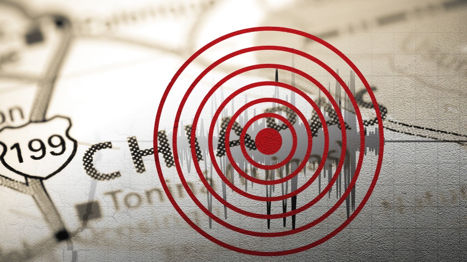
A magnitude 7.4 earthquake struck off the coast of Chiapas, Mexico, near the Guatemala border. — Source: gdelt
Aftershocks and Seismic Sequence
The Mexico earthquake produced 60 aftershocks within three hours, with the largest reaching magnitude 6.5. [2] The Servicio Geológico Colombiano and data from the United States Geological Survey reported an additional aftershock of magnitude 5.1 with its epicenter in Puerto Madero, Mexico, at approximately 8:49 p.m. local time on July 17, 2026, at shallow depth less than 30 kilometers. [1] Aftershocks occur when rocks readjust after a quake of considerable magnitude, generating a series of tremors in the zone. [2] The number of aftershocks can vary from a few to hundreds of events in the coming days or weeks after the main tremor. [2] Up to 11:00 a.m. on the day of the event, 60 replicas had been recorded. [2]
Tectonic Context and Historical Comparison
Chiapas is one of the states with the greatest seismic activity due to the convergent contact between the Cocos plate, the North American plate, and the Caribbean plate. [2] The interaction of the Cocos and North American plates takes place off the coasts of Chiapas in the Mexican Pacific. [2] The Mexico earthquake is the strongest to hit the area since the magnitude 8.2 event of September 7, 2017, which fractured a large part of the Cocos plate in the Gulf of Tehuantepec region. [2] In the twentieth century, five major quakes with magnitudes greater than 7 were recorded on the coasts of Chiapas and Guatemala on April 19, 1902 (magnitude 7.5), September 23, 1902 (magnitude 7.7), January 14, 1903 (magnitude 7.6), April 29, 1970 (magnitude 7.3), and September 10, 1993 (magnitude 7.2). [2] In the twenty-first century, 19 quakes of magnitude 6.0 or greater have been recorded in the area, including the November 7, 2012, magnitude 7.3 event. [2]
Official Actions and Damage Assessment
The Secretaría de Protección Civil de Chiapas explained that personnel were carrying out monitoring tours to identify possible effects. [5] The governor of Oaxaca, Salomón Jara, stated that a magnitude 6.8 quake in the zone was perceived with moderate intensity and that civil protection corporations immediately activated review and monitoring protocols in the different regions to verify possible effects and safeguard the population. [5] Up to that point, no effects of consideration had been reported. [5] The secretary of the Marina affirmed that there are no serious maritime impacts from the Mexico earthquake. [5] Emergency teams continued monitoring for damage with no major structural impacts confirmed so far. [2]
Regional Effects in Guatemala and Oaxaca
The epicentral region of the tremor recorded on the morning of July 17, 2026, was located in the Pacific Ocean in front of Chiapas according to the Instituto Nacional de Sismología, Vulcanología, Meteorología e Hidrología. [3] The quake was felt in adjacent areas of Guatemala, where the Servicio Sismológico de Guatemala indicated that replicas could be perceived in departments such as San Marcos, Quetzaltenango, Retalhuleu, Suchitepéquez, and possibly Totonicapán. [3] In Oaxaca the governor reported moderate intensity with no major effects. [5] The mechanism of the event corresponds to a reverse fault consistent with a shallow interplate thrust subduction quake at the interface between the Cocos and Caribbean plates. [3]
What to watch next: Aftershocks are expected to continue though they generally decrease over hours or days, and the Marina has advised ongoing port precautions due to strong currents.





/file/attachments/orphans/BM-Ed-ElNinoAucamp3_433491.jpg)