
Flooding Persists in New York and Arizona as Fire Weather Watch Issued for Pacific Northwest
Ongoing Flooding in New York State
A Flood Warning remains in effect until 6:30 PM EDT Thursday for portions of east central New York including Albany, Columbia, Greene and Rensselaer counties due to residual flooding from excessive rainfall, with some roads still closed. [1] Residual flooding caused by leftover runoff from excessive rainfall continues to affect rivers, creeks, streams, and other low-lying and flood-prone locations in some areas. [1] A few roads remain closed due to flooding. [1] Low-water crossings may be inundated with water and may not be passable. [1] Expect areas of standing water on roadways in the warned region. [1] The warning covers a portion of east central New York that includes Albany, Columbia, Greene and Rensselaer counties. [1] Impacts from the ongoing flooding include disruptions to travel and potential hazards at low-water crossings. [1] The National Weather Service alert emphasizes that flooding of rivers, creeks, streams, and other low-lying locations is still occurring in some areas. [1]
Flash Flooding Along Arizona's Paria River
A Flash Flood Warning is active for the Paria River near Lees Ferry in Coconino County, Arizona, after automated gauges detected a more than 4-foot rise and life-threatening flash flooding is ongoing. [5] At 6:22 AM MST, automated river gauges on the Paria River near Lees Ferry indicated that the flood wave has arrived. [5] More than a 4-foot rise was detected around 5:30 AM MST, after which levels began to fall slowly. [5] Flash flooding is ongoing with a hazard of life-threatening flash flooding in and around the Paria River. [5] The source of the warning is gauge indicated, and the impact includes life-threatening flash flooding of areas in and around the Paria River. [5] Some locations that will experience flash flooding include Lees Ferry. [5] The warning highlights the immediate danger to areas in and around the Paria River from the detected rise. [5]
Fire Weather Watch for Pacific Northwest
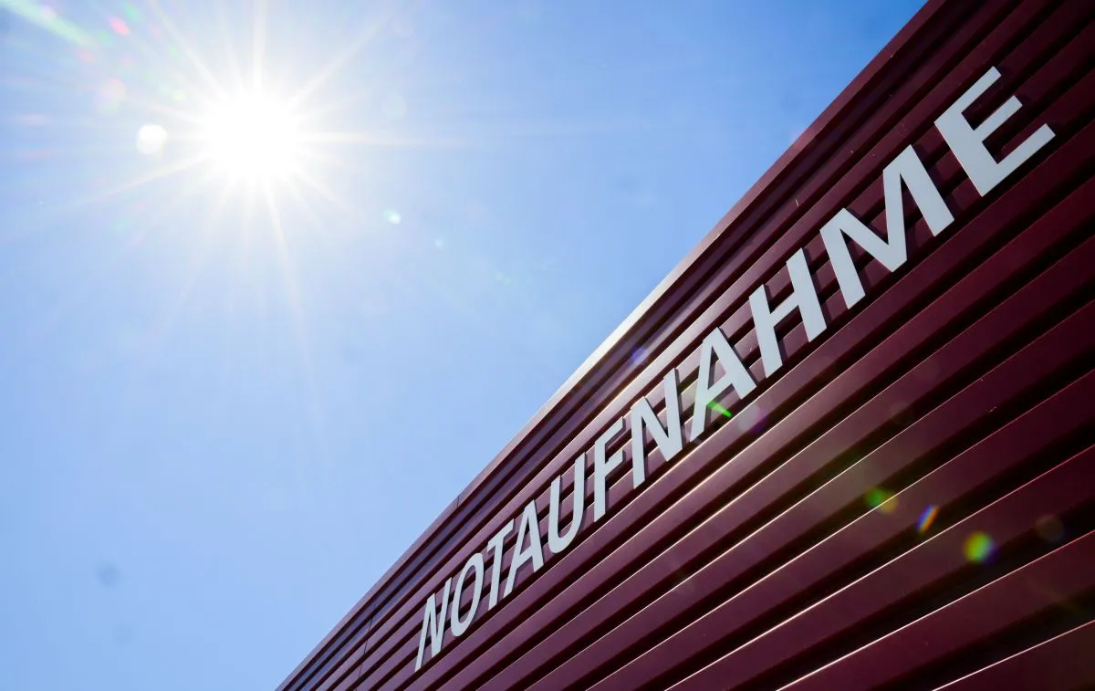
A Fire Weather Watch has been issued for Saturday across the Lower Columbia Basin of Oregon and Washington plus Canyon Grasslands of Wallowa County due to windy conditions of 20-30 mph overlapping with low relative humidity. [2] Windy conditions will develop with overlapping low relative humidity values Saturday across the Columbia Basin and Eastern Wallowa County. [2] The affected area includes Fire Weather Zones 691 Lower Columbia Basin of Oregon, 691 Lower Columbia Basin of Washington, 693 Canyon Grasslands of Wallowa County and 693 Southeast Washington Grande Ronde Valley. [2] Timing for the watch runs from Saturday morning through Saturday evening. [2] Winds are expected to be west 20 to 30 mph with critical relative humidity values. [2] The watch covers the Lower Columbia Basin of Oregon and Washington as well as the Canyon Grasslands of Wallowa County. [2] Windy and breezy conditions with critical relative humidity are forecast for Saturday. [2]
Snow and Ice Warnings Downgraded in South Africa
Snow warnings have been downgraded for South Africa's Eastern Cape, KwaZulu-Natal and Free State after two days of snowfall from a cut-off low system, but icy road conditions persist on mountain passes including Sani Pass, Barkly Pass and areas near Matatiele and Underberg. [4] For the past two days the Eastern Cape, parts of KwaZulu-Natal and areas between the Free State and South Africa’s border with Lesotho have been blanketed with snow. [4] While the South African Weather Service previously issued Orange Level 5 and Yellow Level 2 warnings for disruptive snow, the national weather body has since downgraded those because no more snow is expected to fall over the mountains or any mountain passes. [4] SAWS meteorologist Lehlohonolo Thobela stated that motorists should brace for icy road conditions. [4] In the days that come, cold conditions will persist, but accumulation of snow is not expected for the remainder of the week. [4] Motorists should be aware of icy conditions on roads, especially around Matatiele in the Free State, Sani Pass in KwaZulu-Natal, Barkly Pass in the Eastern Cape and areas over the southwestern parts of KwaZulu-Natal into the Underberg area. [4] As the snow and ice melted over the next day or two, road conditions should improve. [4] Snowy conditions are not out of the ordinary. [4] The Qacha’s Nek Port of Entry remains temporarily closed after South African Border Management Authority officials, in consultation with Lesotho authorities, suspended operations on Wednesday due to snowfall. [4] Most of the snow that is received is generally in August, but it is typical to get it around this time of year. [4] The temperatures may be above normal, but it is still winter. [4] KwaZulu-Natal’s transport department has deployed graders on the R617 road between Underberg and Swartberg to clear the snow before it exceeds 30cm. [4] The KwaZulu-Natal transport department has confirmed snowfall on the R617 between Underberg and Swartberg in the southern part of the province. [4] Even though the disruptive snow warning has been downgraded, the department said that the graders were deployed to prevent a recurrence of the snowfall in September 2024, during which more than 1,800 vehicles were trapped near Van Reenen’s Pass. [4] Traffic officials have been dispatched to monitor road conditions under the province’s Snow Response Plan, and the department has urged motorists to exercise extreme caution in areas affected by snowfall. [4] In the Free State, operations at the Qacha’s Nek Port of Entry in Matatiele have been temporarily suspended by the Border Management Authority. [4] The Border Management Authority commissioner Dr Michael Masiapato said the border authority made the decision in the interests of travellers, BMA staff and the entire border management community, since the snowfall resulted in unsafe weather conditions. [4] Travellers and commercial operators have been advised to either postpone travel or use the Telle Bridge Port of Entry, about 190km away in Sterkspruit, Eastern Cape. [4]
Hong Kong Climate Disaster Risk Assessment
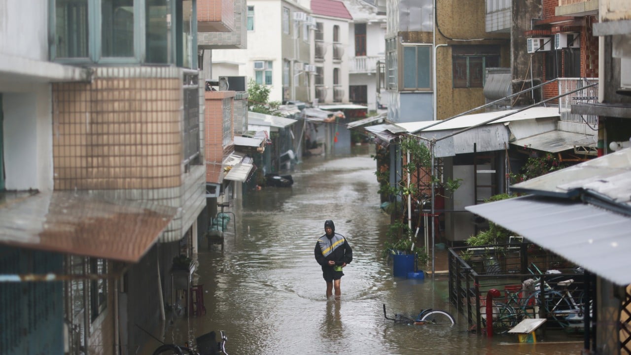
A Hong Kong Red Cross study found that parts of northern Hong Kong face the highest risk of climate-related disasters and that more than 50 percent of the city faces high-risk threats from two or three hazards such as typhoons, extreme heat or fires at once. [3] Parts of northern Hong Kong face the highest risk of climate-related disasters, according to a study by the Hong Kong Red Cross. [3] The charity is urging the government to take climate resilience planning into account in developing the area. [3] A report released by the charity on Thursday also said that more than 50 per cent of the city faced high-risk threats from two or three types of hazards, such as typhoons, extreme heat or fires, simultaneously. [3] Hong Kong Red Cross CEO Eleanor Lam Chuen-ping said that in planning Hong Kong’s future, this risk map helps all sectors gain earlier insights into regional disaster risks during the initial stages of planning new communities, enabling disaster prevention and preparedness to be integrated into development blueprints. [3] The CEO added that the hope is the government will prioritise supporting facilities in high-risk and rural areas, and include climate resilience in its long-term development plans. [3] Using spatial and statistical data from the government, the Hong Kong Observatory and its own public questionnaire survey, the Red Cross ranked different parts of Hong Kong according to 42 factors to assess their vulnerability to extreme weather. [3] The study split the city into nearly 300 zones based on the government’s Tertiary Planning Units, which are small geographic areas used for town planning and census statistics. [3] The Red Cross said this offered a more refined analysis of the city’s areas compared with the usual 18 districts. [3]
Broader Context of Global Severe Weather
Severe weather is affecting multiple continents Thursday, with ongoing flooding in New York and Arizona, a fire weather watch in the Pacific Northwest, snow and icy roads in southern Africa, and new research showing high climate disaster risk across more than half of Hong Kong. [1] [2] [3] [4] [5] The Flood Warning in east central New York and the Flash Flood Warning along the Paria River illustrate continued hydrological impacts from recent rainfall and river rises. [1] [5] The Fire Weather Watch points to upcoming dry and windy conditions that could elevate fire danger in the Pacific Northwest. [2] Downgraded snow warnings in South Africa leave behind persistent icy road hazards on key mountain passes and a temporary border closure. [4] The Hong Kong Red Cross assessment maps overlapping climate hazards across more than half the city and calls for resilience measures in future planning. [3] These events occur simultaneously across different continents and hazard types.
What to watch next: Continued monitoring of the Flood Warning until 6:30 PM EDT Thursday in New York counties, the active Flash Flood Warning near Lees Ferry, the Fire Weather Watch through Saturday evening in the Columbia Basin and Wallowa County areas, lingering icy conditions on South African passes, and implementation of recommendations from the Hong Kong Red Cross study on multi-hazard zones.