Conflict in Lebanon: Israel Releases Map Showing Control of Southern Territory
In the ongoing conflict in Lebanon, Israel has published a map detailing its control over southern Lebanon, showing troop deployments and instructions to destroy Hezbollah infrastructure.[1] This development highlights the current military positioning and operational directives of Israeli forces in the region, as outlined in the map released by the Israeli army.[1][2] The publication comes amid reports of advances into Lebanese territory, with specific details on a forward defense line and occupied areas where Israel plans to retain control.[2]
Publication of the Map
The Israeli army has released a detailed map illustrating its control over territory in southern Lebanon, marking a significant disclosure in the conflict in Lebanon.[1][2] According to reports, this map explicitly shows soldiers deployed across Lebanon's south, accompanied by instructions to destroy what Israel designates as Hezbollah infrastructure.[1] The document serves as a visual representation of the areas under Israeli operational authority, providing clarity on the extent of military presence and the tactical objectives tied to those positions.[1]
This publication by the Israeli army emphasizes the forward defense line, delineating current troop positions in southern Lebanon.[2] Such a map is not merely a static image but a strategic tool that outlines the boundaries of control and the zones where destructive operations against perceived Hezbollah assets are authorized.[1] The release underscores Israel's approach to transparency in its military operations within the region, allowing for public and possibly international observation of its deployments.[1][2] By publishing these details, the map integrates geographical markers with operational mandates, reinforcing the narrative of active engagement in southern Lebanese territory.[1]
Furthermore, the map's content reflects a structured military framework, where deployments are not random but aligned with specific goals of infrastructure elimination.[1] This level of detail in the publication—covering both positions and instructions—positions it as a key artifact in understanding the dynamics of the conflict in Lebanon.[1][2] Reports from multiple outlets confirm the map's focus on southern Lebanon, making it a central element in discussions of territorial control and military strategy.[1][2]
Military Deployment and Objectives
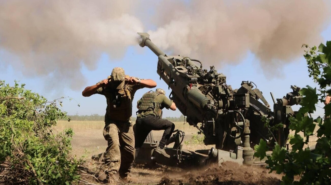
Israeli soldiers are actively deployed in southern Lebanon, with clear orders to target and destroy infrastructure identified by Israel as belonging to Hezbollah.[1] The map published by the Israeli army provides a comprehensive view of these deployments, illustrating positions where troops are stationed and the corresponding directives to dismantle enemy assets.[1] This deployment strategy is framed around a proactive defense posture, where the presence of forces is directly linked to the mission of neutralizing threats posed by Hezbollah infrastructure.[1]
The objectives outlined in the map are precise: destruction of designated sites to undermine operational capabilities in the area.[1] This approach indicates a methodical advancement of military efforts, with troops positioned to execute these instructions effectively across controlled territories.[1] The visual aid of the map enhances comprehension of how these deployments are orchestrated, showing not just locations but the intent behind them—systematic elimination of infrastructure that Israel views as hostile.[1]
In this context, the military objectives extend beyond mere occupation, incorporating active measures to reshape the security landscape in southern Lebanon.[1] The instructions to destroy Hezbollah infrastructure suggest a long-term commitment to altering the region's military balance, with deployments serving as the frontline enforcement mechanism.[1] This detailed mapping of positions and goals provides a snapshot of Israel's operational tempo, emphasizing sustained presence and targeted actions.[1]
Extent of Israeli Advance
Israeli forces have pushed approximately 12 kilometers into Lebanese territory, as confirmed in statements related to the map's release.[2] This advance marks a notable expansion of military reach into southern Lebanon, aligning with the troop positions depicted on the newly published map.[2] The 12-kilometer depth underscores the scale of operations, transforming initial incursions into a more entrenched foothold within the region.[2]
The map's depiction of the forward defense line further contextualizes this extent, showing how the advance integrates with broader defensive positioning.[2] Reports indicate that this progression has been methodical, with forces establishing control over successive areas up to this distance.[2] The disclosure of such specifics via the map highlights the tangible progress made, offering a measurable indicator of Israel's military momentum in the conflict.[2]
This 12-kilometer incursion represents a critical threshold, where the line between border skirmishes and deeper territorial engagement blurs.[2] The army's mapping efforts capture this extent precisely, linking the advance to current deployments and strategic lines.[2] Such details are vital for assessing the operational scope, as they reflect not just distance covered but the consolidation of gains in southern Lebanon.[2]
Intentions for Occupied Areas
Israel's defense minister has explicitly stated that the country intends to maintain control over all areas it has occupied in southern Lebanon.[2] This position is tied directly to the map's portrayal of troop positions and the forward defense line, signaling a policy of retention rather than withdrawal.[2] The declaration reinforces the map's implications, framing occupied zones as permanent fixtures under Israeli authority until further notice.[2]
The intent to hold these regions aligns with the broader military objectives shown on the map, where deployments are positioned to secure and sustain control.[2] By articulating this stance, the defense minister provides official backing to the visual claims of the map, emphasizing stability in occupied territories.[2] This approach suggests a strategic calculus where control is not temporary but a cornerstone of Israel's security posture in the area.[2]
Maintaining oversight of these areas involves ongoing troop presence and infrastructure-related operations, as inferred from the map's details.[2] The minister's comments elevate the map from a tactical document to a policy statement, outlining Israel's commitment to these positions amid the conflict.[2] This intention shapes expectations for the future management of southern Lebanese territories under Israeli influence.[2]
Context of the Map's Release
The map's release occurs within the framework of intensified military activities in southern Lebanon, where Israeli forces are advancing and consolidating positions.[1][2] It relates directly to the deployments instructed to destroy Hezbollah infrastructure, providing a public-facing summary of operations.[1] This timing aligns with reports of a 12-kilometer push, contextualizing the map as both a record of achievements and a blueprint for continued efforts.[2]
In the broader scope of the conflict in Lebanon, the publication serves to communicate Israel's control and intentions transparently.[1][2] The forward defense line and troop positions depicted respond to the dynamics of engagement with Hezbollah, framing the map as a tool for strategic messaging.[2] Sources highlight how this disclosure ties into the defense minister's affirmations of retained control, embedding the map in ongoing territorial and operational narratives.[1][2]
The context also underscores the map's role in delineating zones of action, from destruction mandates to defensive lines.[1][2] By releasing such details, Israel positions the document as integral to understanding the current state of military affairs in southern Lebanon.[1][2] This integration of visual data with official statements amplifies its significance in the evolving situation.[1][2]
What to watch next: Observers should monitor developments along the forward defense line and any updates on troop positions, as Israel has indicated intentions to maintain control over occupied areas while continuing operations against Hezbollah infrastructure.[1][2]