Indonesia's Semeru Volcano Shows Heightened Activity with 700-Meter Eruption Plume
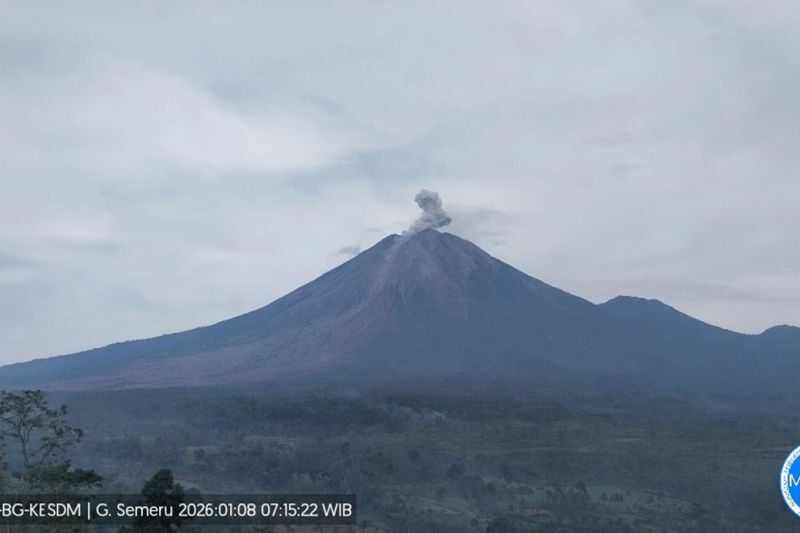
Lumajang, Indonesia – Mount Semeru, one of Indonesia's most active volcanoes, erupted on January 8, 2026, ejecting volcanic material to a height of 700 meters, according to local reports. The event, classified as medium severity, underscores the volcano's ongoing eruptive phase, prompting routine monitoring by authorities but no immediate escalation in alert levels.
The eruption occurred amid Semeru's persistent activity, which began intensifying around 18:28 UTC on Thursday, January 8, 2026—equivalent to early Friday morning local time in East Java. Indonesian news outlet Elshinta reported the plume's height, describing it as "material letusan" (eruption material), likely consisting of ash and gas. This follows a pattern of frequent, moderate explosions at the volcano, which is situated in the Bromo Tengger Semeru National Park on the island of Java.
Semeru, standing at 3,676 meters (12,060 feet), is Java's highest peak and has been in a state of near-continuous eruption since 1967. The Pusat Vulkanologi dan Mitigasi Bencana Geologi (PVMBG), Indonesia's geological agency, maintains a Level II (Waspada, or Alert) status for the volcano, advising visitors and residents to avoid a 1-kilometer exclusion zone around the Jonggrang Crater and 5 kilometers on the southeast flank due to risks of hot ash clouds and lava flows. No injuries or significant damage have been reported from this latest event, and aviation alerts remain at yellow level 3, indicating potential ash hazards for aircraft.
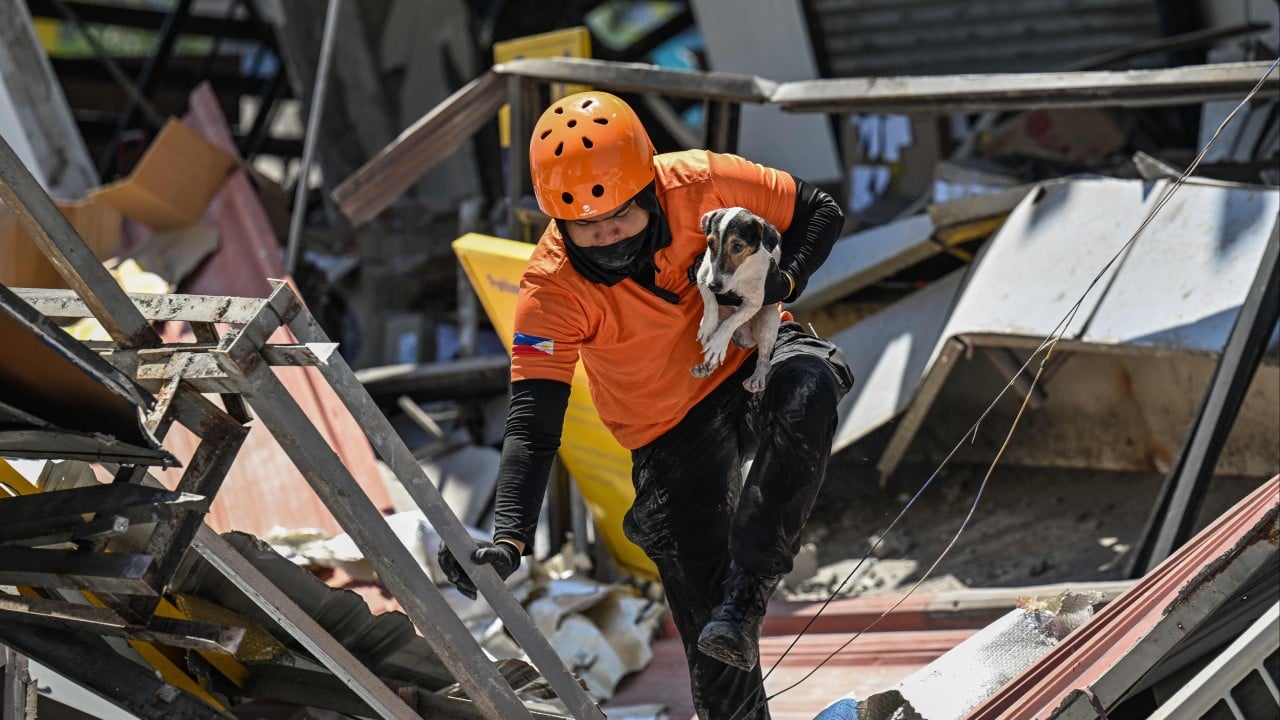
Local communities in Lumajang and Malang regencies, which border the volcano, are accustomed to such activity. Semeru's eruptions often produce pyroclastic flows—fast-moving avalanches of hot gas and debris—that have historically threatened villages like Supit and Pronojiwo. In December 2021, a major collapse of the crater dome triggered deadly lahars (volcanic mudflows) that killed 51 people and displaced thousands, highlighting the volcano's destructive potential when activity escalates.
This recent eruption aligns with Semeru's typical behavior: Strombolian-style explosions every few hours, accompanied by ash emissions and seismic tremors. Data from the PVMBG, routinely shared via their monitoring network, has detected ongoing deep volcanic earthquakes (guguran) and distant tectonic quakes in the lead-up to the January 8 event. The 700-meter plume is moderate compared to past incidents, such as the 1,500-meter ash column observed in late 2024 during another active phase.
Indonesia, part of the geologically volatile "Ring of Fire," hosts over 120 active volcanoes, more than any other nation. Semeru exemplifies this dynamism, with its magma system fueled by the subduction of the Indo-Australian Plate beneath the Eurasian Plate. The archipelago experiences thousands of eruptions annually, contributing to fertile soils that support rice farming but also posing constant risks to its 270 million people. In 2025 alone, eruptions at other volcanoes like Mount Merapi and Ruang drew international attention, with evacuations and flight disruptions.
Authorities have reiterated safety guidelines: residents should wear masks to protect against ashfall, avoid riverbanks prone to lahar, and heed evacuation routes. The PVMBG continues 24-hour surveillance using seismographs, webcams, and infrasound sensors. While the current medium-severity activity does not signal an imminent major eruption, experts emphasize preparedness, given Semeru's history of sudden escalations.
As monitoring persists, the focus remains on mitigating impacts in this densely populated region. Semeru's ongoing eruptions serve as a reminder of Indonesia's need for robust disaster infrastructure, including early warning systems and community education programs rolled out post-2021. No changes to alert levels have been announced, but updates are expected if activity intensifies.
(Word count: 612)