
Calama Chile records three magnitude 4 earthquakes on May 26
Multiple reports confirm that an earthquake chile sequence affected the area near Calama on May 26, with three separate events registered by monitoring agencies and local coverage noting immediate operational responses.
Event Overview
The sequence began with activity recorded in official logs on May 26. Coverage described the shaking as notable enough to prompt local authorities to implement preventive measures in affected zones. [1] [2] All events occurred in close succession according to the published timestamps, leading to coordinated checks on infrastructure and public safety protocols. The overall occurrence aligns with patterns of seismic activity common in the region, where monitoring networks track multiple tremors within short timeframes.
Seismic Details of Earthquake Chile
USGS records list three distinct events. The first registered as magnitude 4.0 at a depth of 119.6 km and located 11 km NNE of Calama. [3] The second reached magnitude 4.1 at 112.9 km depth and was positioned 23 km NE of Calama. [4] The third measured magnitude 4.3 at 121.7 km depth and occurred 24 km N of Calama. [5] These measurements provide precise parameters that allow comparison of energy release and focal depth across the sequence.
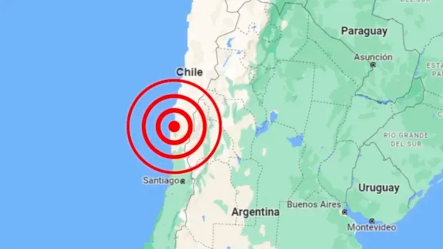
Power outages and preventive evacuations follow magnitude 4 earthquakes near Calama, Chile. — Source: gdelt
Reported Impacts
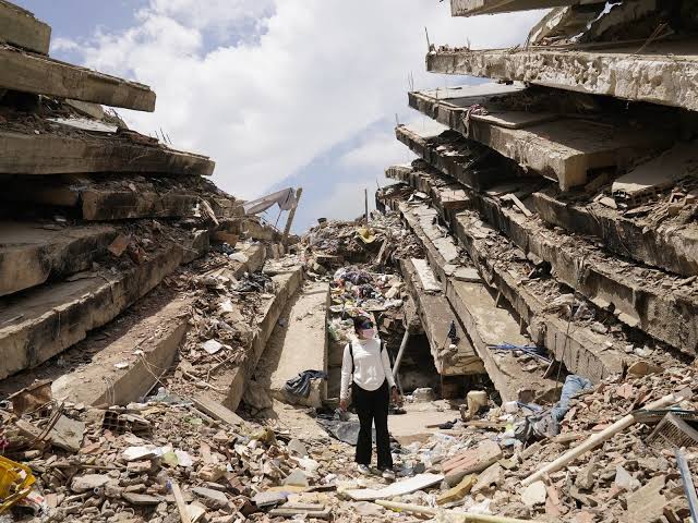
Local reporting highlighted power cuts in portions of the affected area along with preventive evacuations carried out as a precaution. [2] Such responses followed standard procedures when shaking is felt at the surface, even from events at significant depth. Authorities focused on verifying electrical grid stability and ensuring residents moved away from potential hazard zones until assessments concluded.
Geographic Context
All three events clustered within a limited radius around Calama. The recorded positions place them between 11 km and 24 km from the city center in northerly and northeasterly directions. [3] [4] [5] This tight spatial grouping indicates a localized source zone rather than widely dispersed activity.
Depth Measurements
The focal depths ranged from 112.9 km to 121.7 km. [3] [4] [5] Such intermediate depths typically reduce surface intensity compared with shallower events, yet the reported power interruptions and evacuations show that the shaking remained perceptible enough to warrant action. The consistency in depth values across the three records suggests similar source characteristics.
Location Specifics
Distances from Calama were documented as 11 km NNE, 23 km NE, and 24 km N respectively. [3] [4] [5] These coordinates confirm the events remained within the immediate vicinity of the city, allowing rapid confirmation of effects through local networks and official channels.
{IMAGE_3}
What to watch next: Continued monitoring of aftershock potential and infrastructure status remains the focus following the power cuts and evacuations noted in coverage.