4.6 Magnitude Earthquake Jolts Puerto Cortés, Honduras, Prompting Seismic Alerts
Puerto Cortés, Honduras — A moderate 4.6 magnitude earthquake struck near Puerto Cortés, the country's principal Caribbean port city, in the early hours of January 10, 2026, local time, shaking coastal communities and triggering standard seismic monitoring protocols.
The tremor, reported at 02:09 UTC (8:09 p.m. CST on January 9 local time), originated in the vicinity of Puerto Cortés in the department of Cortés, according to initial alerts from regional monitoring networks. Classified as medium severity, the event did not immediately produce reports of significant structural damage, injuries, or casualties, though residents described feeling moderate shaking. Honduran authorities and international seismic agencies were quick to verify the data as preliminary assessments circulated.
Event Details and Initial Response
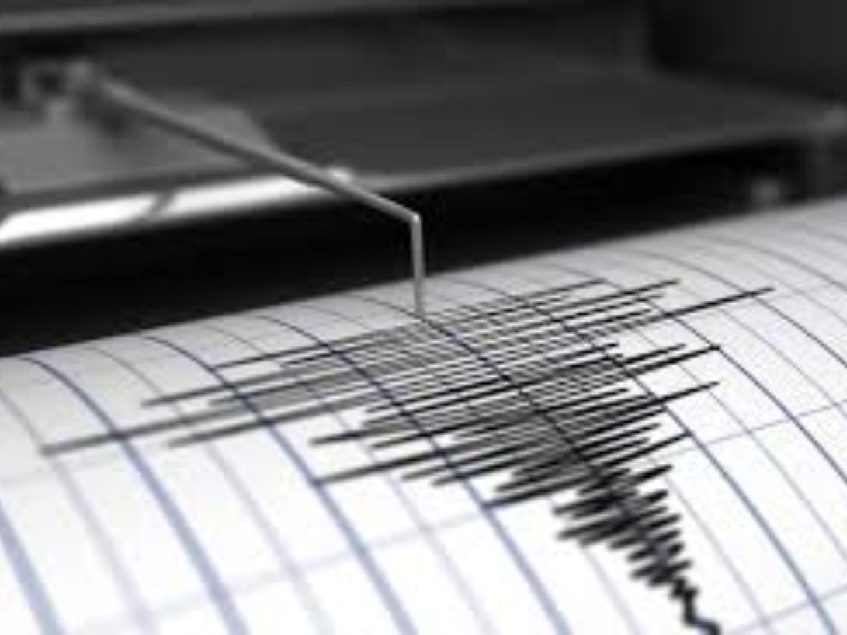
The earthquake's epicenter was pinpointed close to Puerto Cortés, a vital hub for international trade handling bananas, coffee, and container shipments, underscoring the economic stakes in the region. The U.S. Geological Survey (USGS) and local bodies like Honduras's Servicio Nacional de Gestión de Riesgos (SINAGER) routinely track such events in this tectonically active zone, with the 4.6 magnitude falling into the "light" to "moderate" category on the Richter scale—typically felt by most people indoors but rarely causing serious harm.
Eyewitness accounts from Puerto Cortés, shared via social media and local outlets shortly after the quake, noted swaying buildings, rattling windows, and brief panic among late-night residents and port workers. No tsunami warnings were issued, as the event was inland-focused and not linked to offshore subduction typical of Pacific quakes. SINAGER activated its early warning systems, advising calm while urging vigilance for aftershocks, a common occurrence in the area.
As of early January 10, emergency response teams conducted preliminary inspections of infrastructure, including the port facilities critical to Honduras's export economy. Schools and businesses in Cortés department opened as usual, with no disruptions reported by midday.
Seismic Context in Honduras
Honduras lies in a seismically volatile region at the intersection of the Caribbean Plate, North American Plate, and Cocos Plate, making it prone to frequent tremors. The northern coast, including Puerto Cortés, sits near the Swan Fracture Zone and onshore faults like the Sula Graben, which channel seismic energy from deeper subduction zones off Central America.
Historical data from the USGS highlights the pattern: Honduras records hundreds of minor quakes annually, with magnitudes above 4.0 occurring several times a year. Notable past events include the 7.1 magnitude quake in 1982 near La Ceiba, which killed over 30 people, and the 2001 7.7 tremor offshore El Salvador that triggered landslides in Honduras, claiming around 100 lives regionally. More recently, a 6.4 magnitude event in 2021 shook the Bay Islands, causing minor damage but no deaths.
The 2026 Puerto Cortés quake aligns with this trend, occurring amid heightened regional awareness following a series of smaller tremors in late 2025 across northern Honduras. Experts from the USGS note that while magnitudes below 5.0 seldom cause widespread harm, they serve as reminders of underlying tectonic stress buildup. Honduras has bolstered resilience since the 1998 Hurricane Mitch disaster, investing in retrofitted buildings and community drills, though coastal ports remain vulnerable to liquefaction in softer soils.
Broader Regional Implications
Central America as a whole experiences over 10,000 seismic events yearly, per USGS records, with Honduras contributing significantly due to its position on the volcanic arc stretching from Mexico to Panama. Neighboring countries like Guatemala and El Salvador reported no effects from this event, but cross-border monitoring via the Comprehensive Nuclear-Test-Ban Treaty Organization's International Data Centre aids rapid verification.
Economically, Puerto Cortés handles 70% of Honduras's maritime trade, per World Bank data. Any disruption could ripple through supply chains, though the quake's limited intensity minimized immediate fallout. The Honduran government, under President Xiomara Castro, has prioritized disaster preparedness, allocating funds in 2025 for seismic retrofits following critiques from international donors like the Inter-American Development Bank.
Outlook and Monitoring
As aftershock risks persist—statistically, a 4.6 quake may spawn events up to one magnitude lower—SINAGER and the USGS continue real-time surveillance via stations in Tegucigalpa and San Pedro Sula. Preliminary focal depth estimates suggest a shallow origin, around 10-20 km, amplifying felt intensity on the surface.
No major impacts have been confirmed, allowing life to resume normally, but officials emphasize preparedness: securing furniture, knowing evacuation routes, and heeding alerts. This event reinforces Central America's ongoing tectonic narrative, where vigilance tempers nature's unpredictability.
(Word count: 612)