Moderate Tremor Rattles Lima and Surrounding Regions in Peru Amid Ongoing Seismic Activity
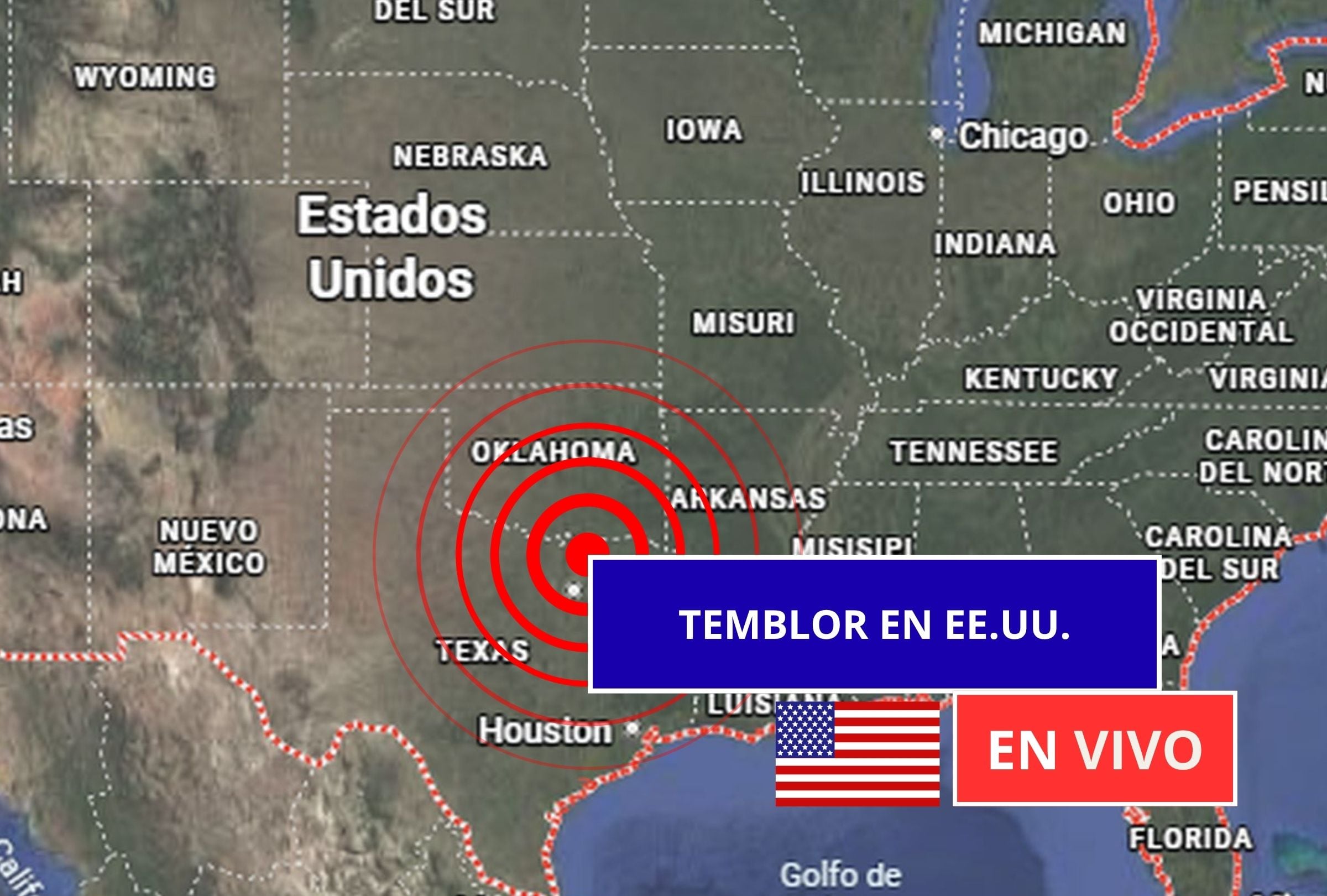
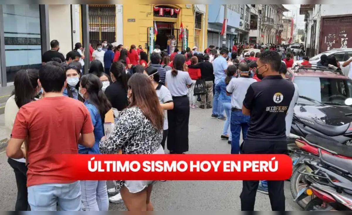
Lima, Peru – A medium-severity tremor struck the capital city of Lima on January 10, 2026, at 20:09 UTC, with its epicenter reported in the vicinity, according to initial seismic data. The event, part of a series of recent earthquakes monitored across Peru, prompted heightened vigilance from authorities but no immediate reports of major damage or casualties.
The earthquake occurred late Saturday evening in Coordinated Universal Time, corresponding to afternoon hours in Peru's time zone (UTC-5). Classified as medium severity, the tremor was felt in Lima and extended to nearby areas including Ica, Callao, and other provinces, as detailed in reports from the Instituto Geofísico del Perú (IGP). A comprehensive update published on January 11, 2026, by La República highlighted the magnitude, epicenter details, and additional recent seismic events, underscoring the IGP's role in real-time monitoring.
Peru's IGP, the national geophysical institute responsible for tracking earthquakes, vulcanism, and tsunamis, recorded the Lima event as the latest in a cluster of tremors affecting the country's coastal and central regions. The article from La República, titled "Temblor en Perú hoy, domingo 11 de enero del 2026: magnitud, epicentro y más sobre sismos recientes según IGP," provided an overview of these developments, focusing on the most recent shakes in Lima, Ica, Callao, and surrounding provinces. Such updates are standard for the IGP, which maintains a public dashboard for sismos (earthquakes) to inform residents and emergency services.
While specific magnitude figures and precise epicenter coordinates for the January 10 event were referenced in the IGP data cited by La República, the tremor aligned with Peru's typical seismic profile—frequent, moderate-intensity quakes that serve as reminders of the nation's vulnerability. No widespread disruptions were noted in initial assessments, but the event occurred amid a pattern of heightened activity, with the IGP tracking multiple tremors in the preceding days.
Seismic Context in Peru
Peru sits along the Pacific Ring of Fire, a 40,000-kilometer horseshoe-shaped belt encircling the Pacific Ocean where about 90% of the world's earthquakes occur. The country's seismicity is driven by the subduction of the Nazca tectonic plate beneath the South American plate at a rate of approximately 6-7 centimeters per year. This process generates frequent earthquakes, particularly along the Peruvian coast from the northern region of Tumbes to the southern department of Arequipa.
Lima, home to over 10 million people in its metropolitan area, lies in a high-risk seismic zone. Historical precedents include the devastating 1746 earthquake and tsunami that largely destroyed the colonial city, killing thousands, and the 1970 Ancash earthquake (magnitude 7.9), which triggered a landslide that claimed around 70,000 lives. More recently, Peru has experienced significant events such as the 2007 Pisco earthquake (magnitude 8.0), which killed over 500 people, and the 2021 Amazonas quake (magnitude 6.9). These underscore the need for preparedness, with the IGP issuing regular alerts and the National Civil Defense Institute (INDECI) promoting earthquake drills and building codes.
The January 10 tremor fits into this ongoing pattern. Peru records thousands of seismic events annually, most below magnitude 5.0 and classified as low to medium severity. The IGP categorizes tremors based on intensity scales like the Modified Mercalli Intensity (MMI) scale, where medium severity typically corresponds to light shaking felt by most people indoors, potentially causing minor effects like rattling windows or swaying lights. Events in Ica and Callao, both densely populated and industrially vital, amplify concerns, as these areas have seen past quakes leading to infrastructure strain.
La República's coverage emphasized the IGP's data aggregation for "sismos recientes" (recent earthquakes), providing epicenters, depths, and magnitudes to guide public response. Callao, Peru's main port, and Ica, known for its agricultural output and proximity to the Paracas National Reserve, are particularly sensitive to such activity due to their coastal locations and vulnerability to secondary effects like soil liquefaction.
Official Response and Monitoring
Peruvian authorities, through INDECI and local governments, routinely activate emergency protocols following IGP alerts. Residents in affected areas are advised to follow the "three steps" protocol: drop, cover, and hold on during shaking, followed by evacuation if necessary. The IGP's real-time reporting platform has become a critical tool since its enhancements post-2010s quakes, offering mobile apps and SMS alerts.
As of January 11, 2026, the focus remained on aftershock monitoring, with the IGP continuing to log minor tremors. No tsunami warnings were issued for the January 10 event, consistent with its inland or shallow coastal epicenter profile.
Outlook for Seismic Preparedness
Peru's recent tremors highlight the persistent threat in a nation where earthquakes contribute to about 80% of natural disaster risks, according to INDECI data. Ongoing investments in seismic retrofitting, early warning systems, and public education aim to mitigate impacts. The IGP's detailed reporting, as covered in outlets like La República, plays a pivotal role in fostering resilience.
While the January 10 Lima tremor and associated events caused no major incidents, they reinforce the call for vigilance in this seismically active region. Updates from the IGP remain essential as monitoring continues into the week.
(Word count: 712)